


Plan guia para Bærum vest - Proyecto para una Ciudad Abierta
Planguide for Bærum vest- The Open Neighbourhood Project
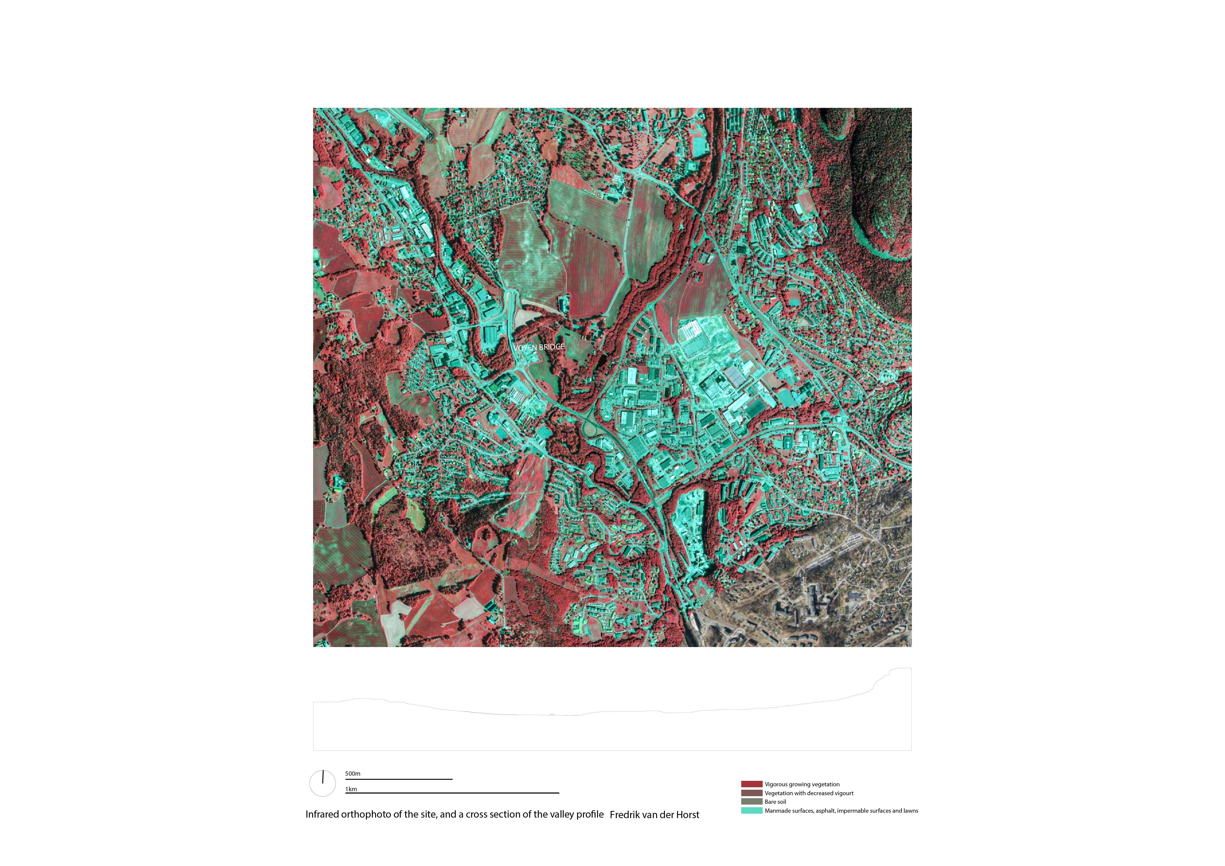
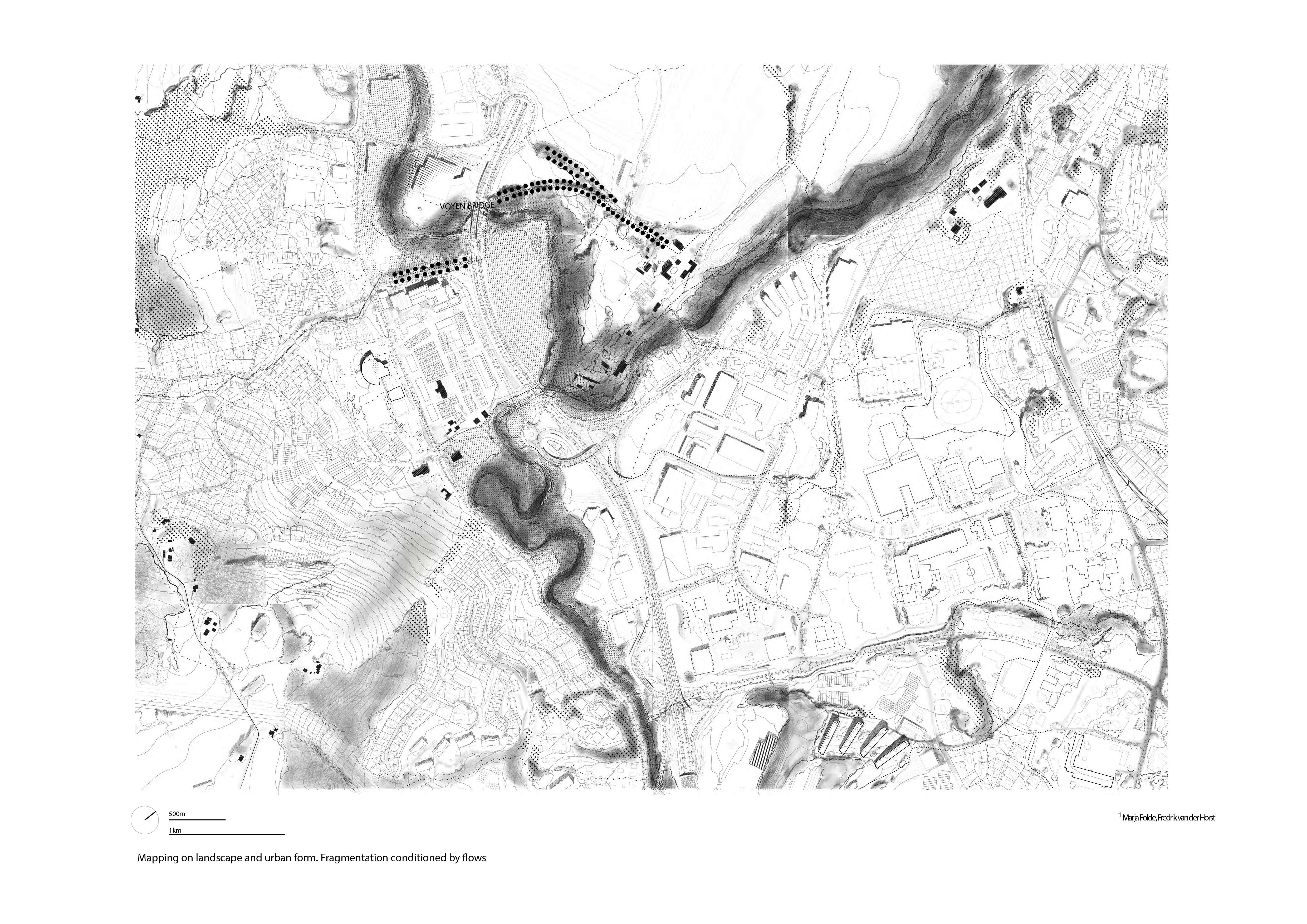
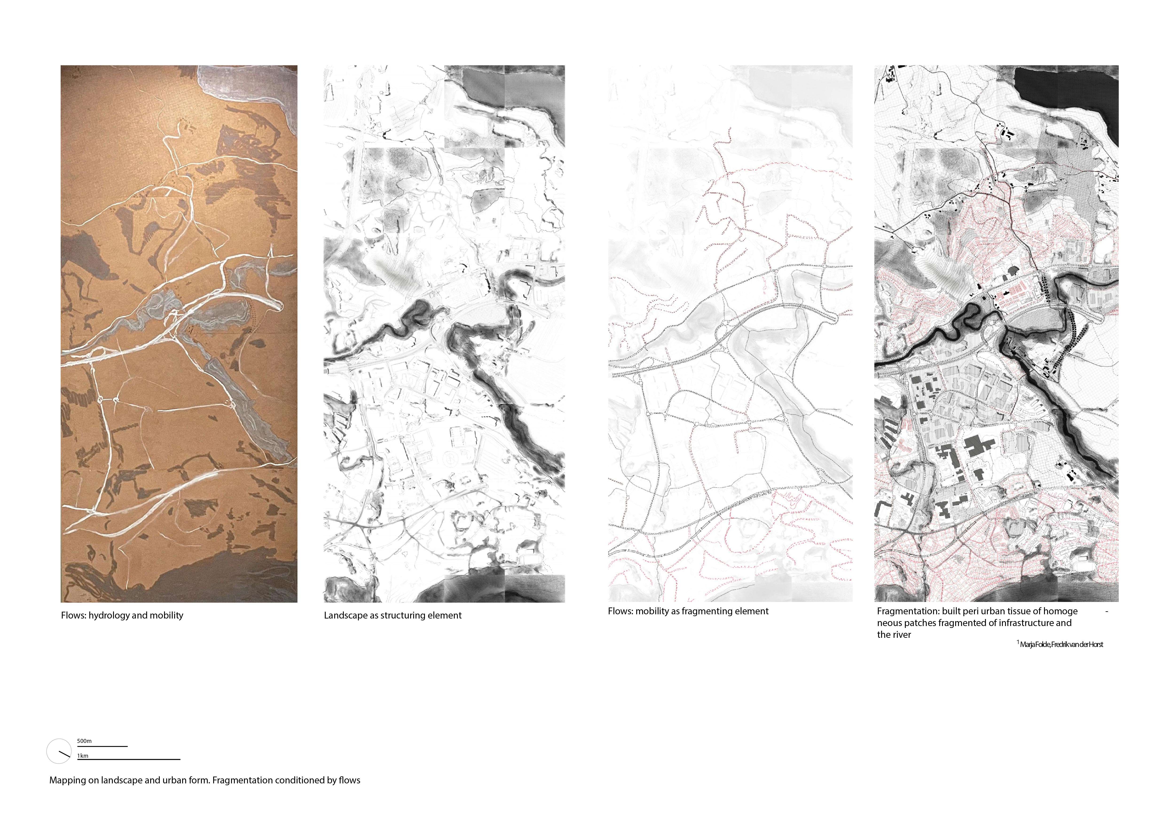
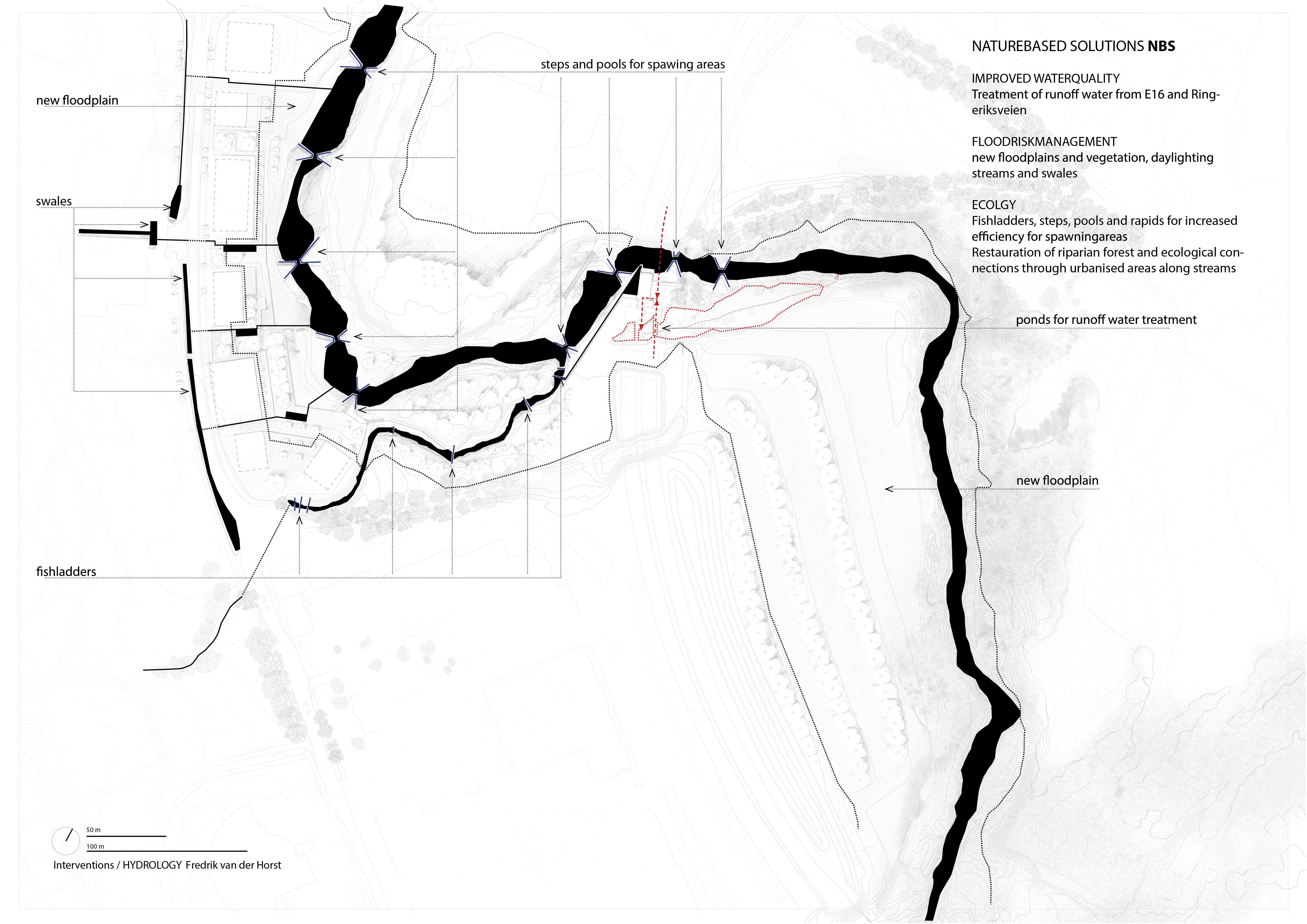
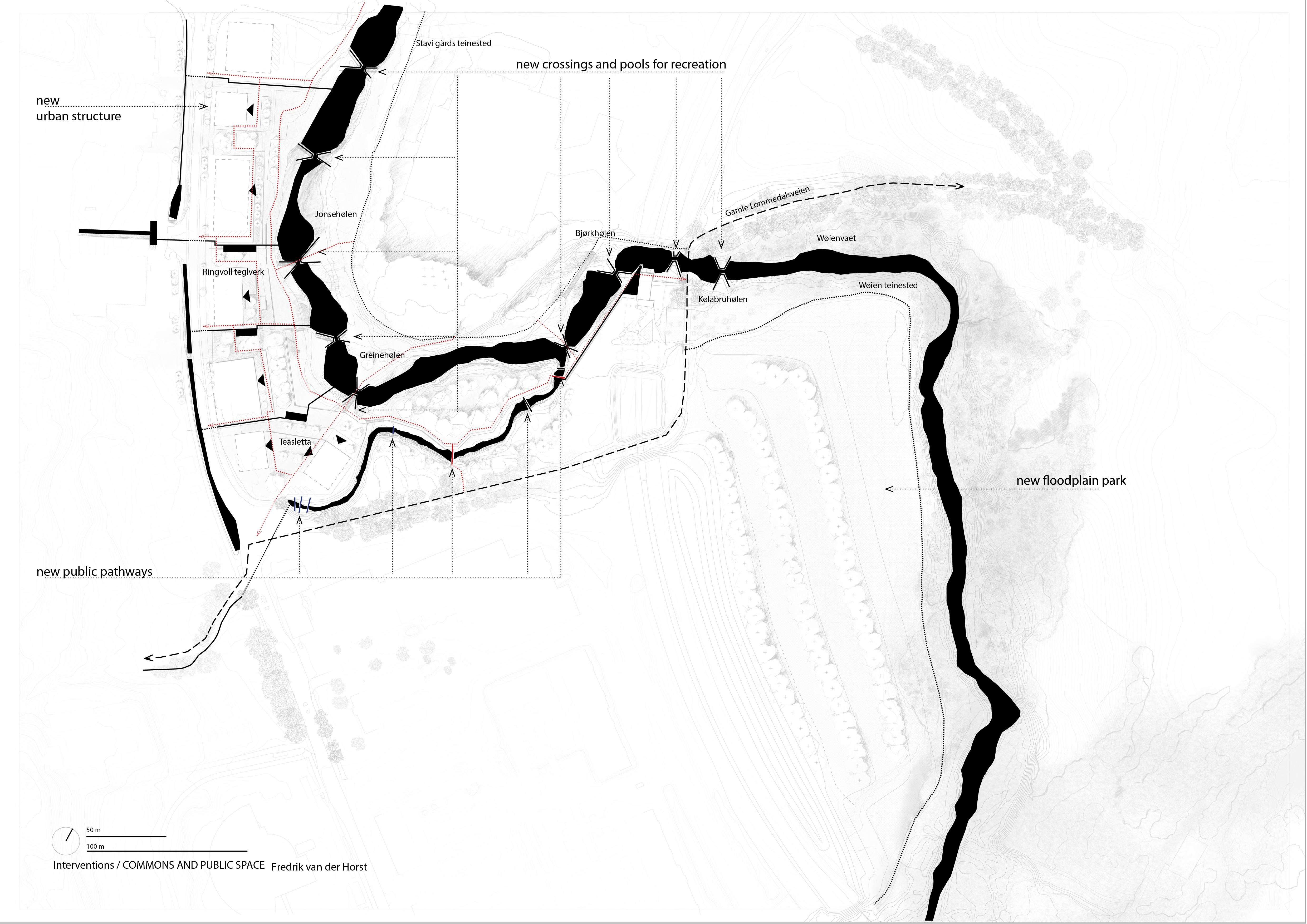
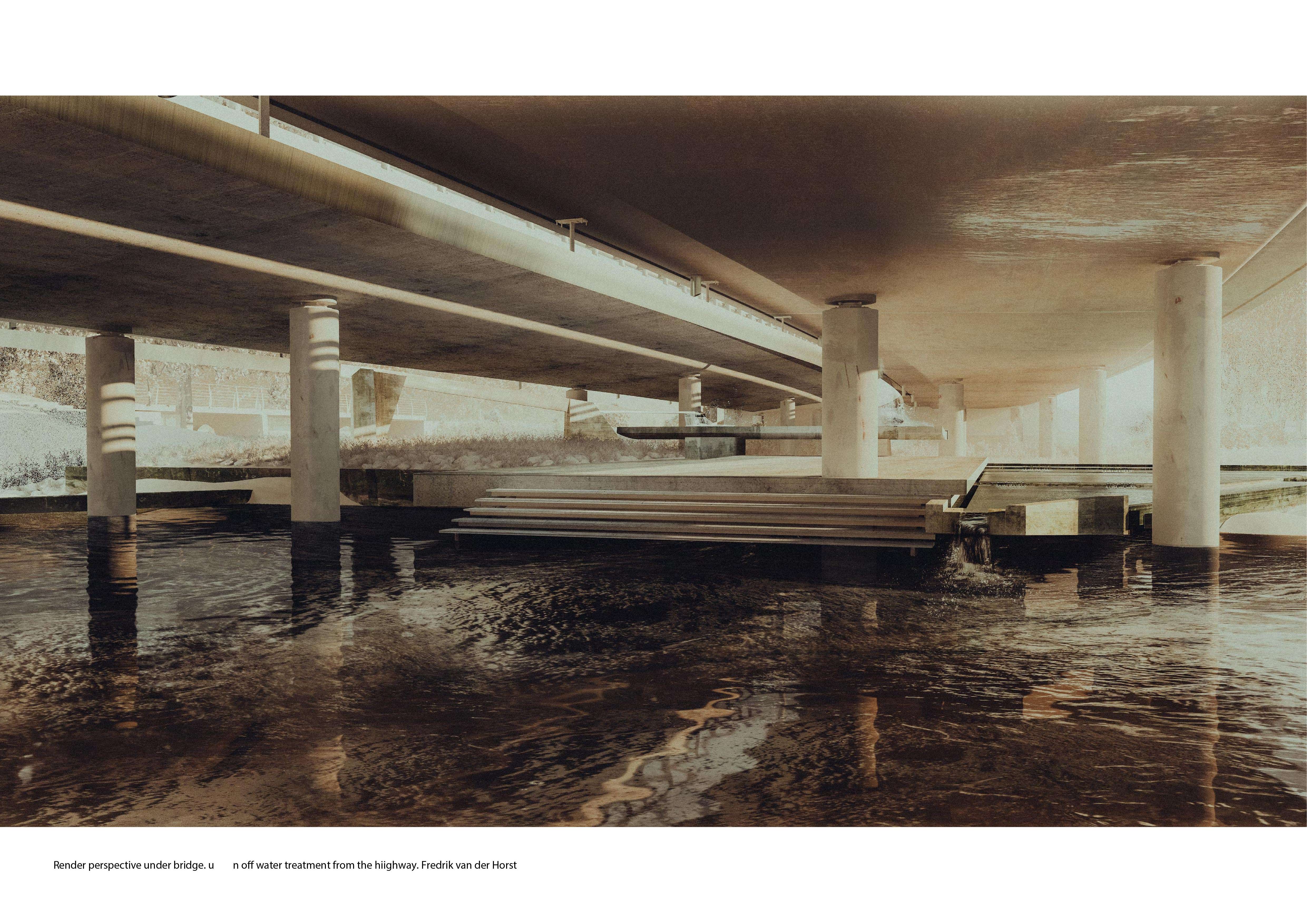
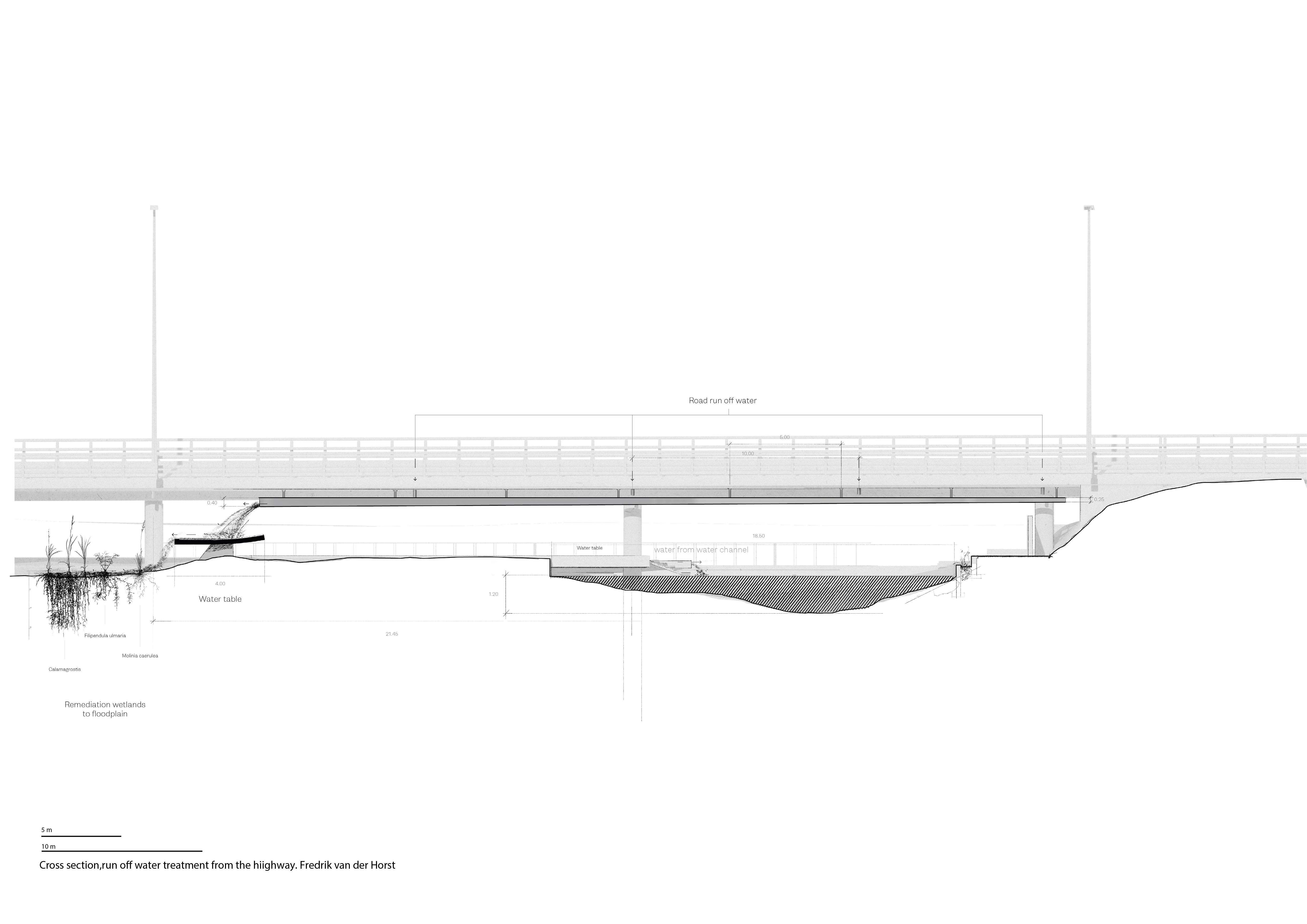
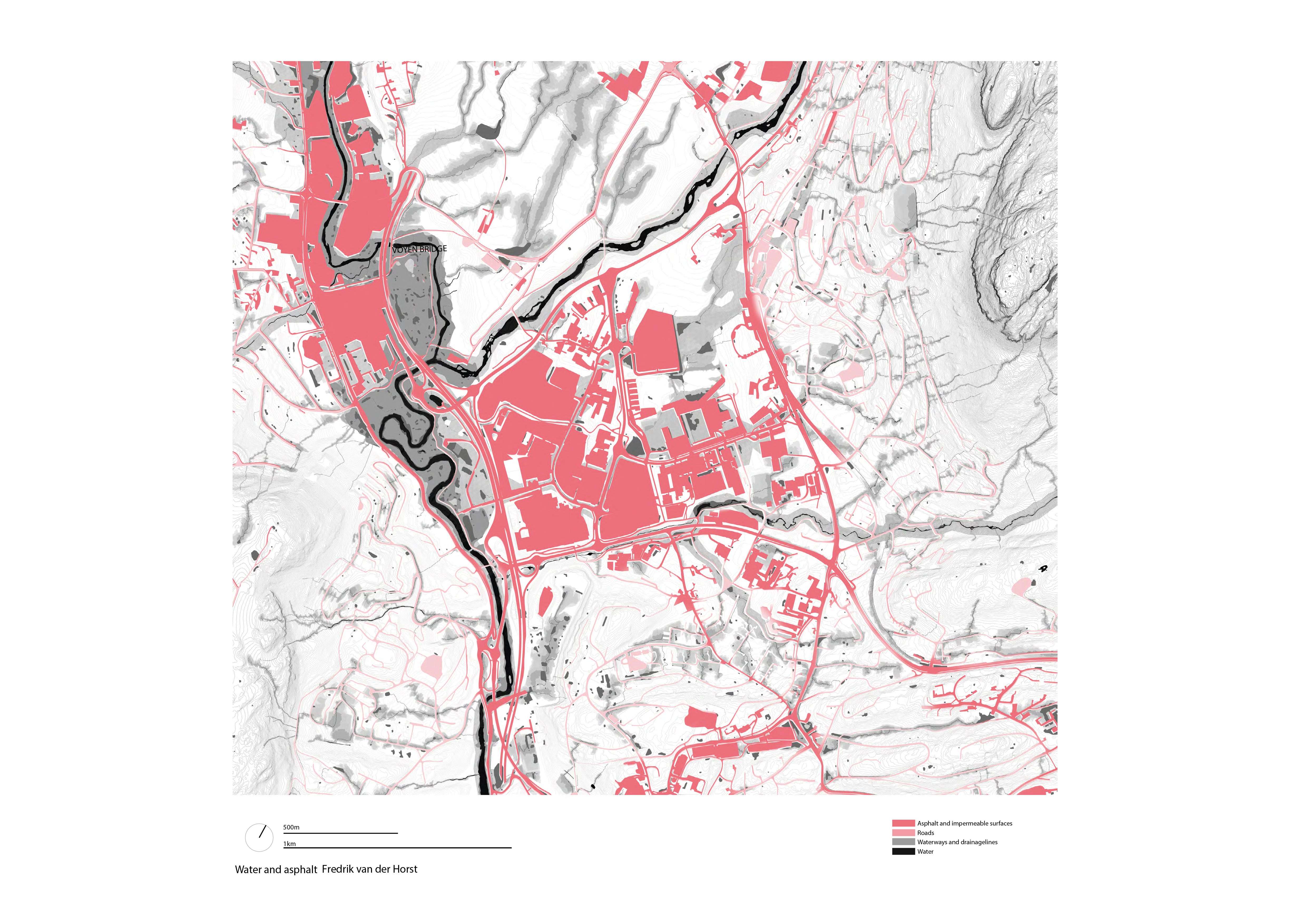
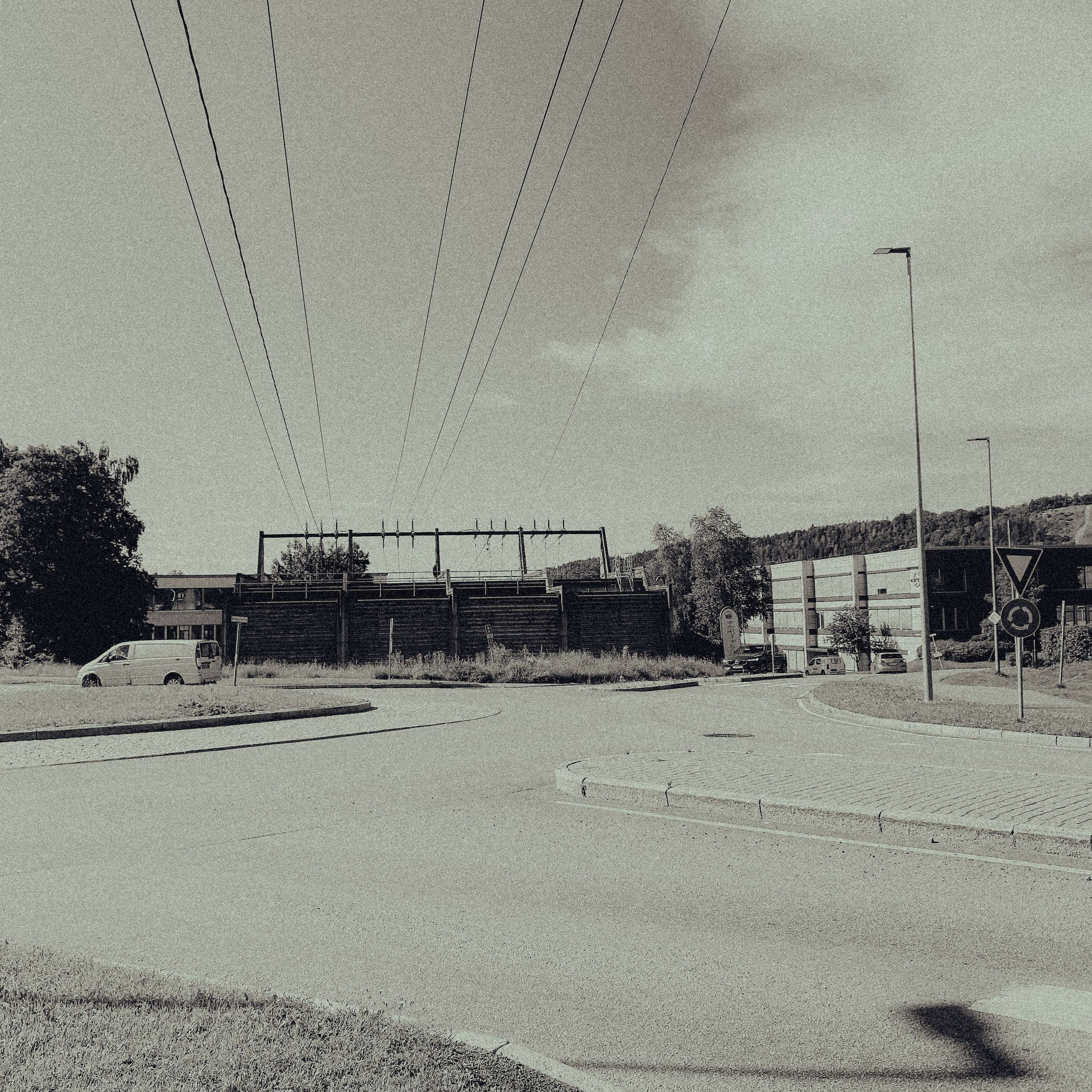
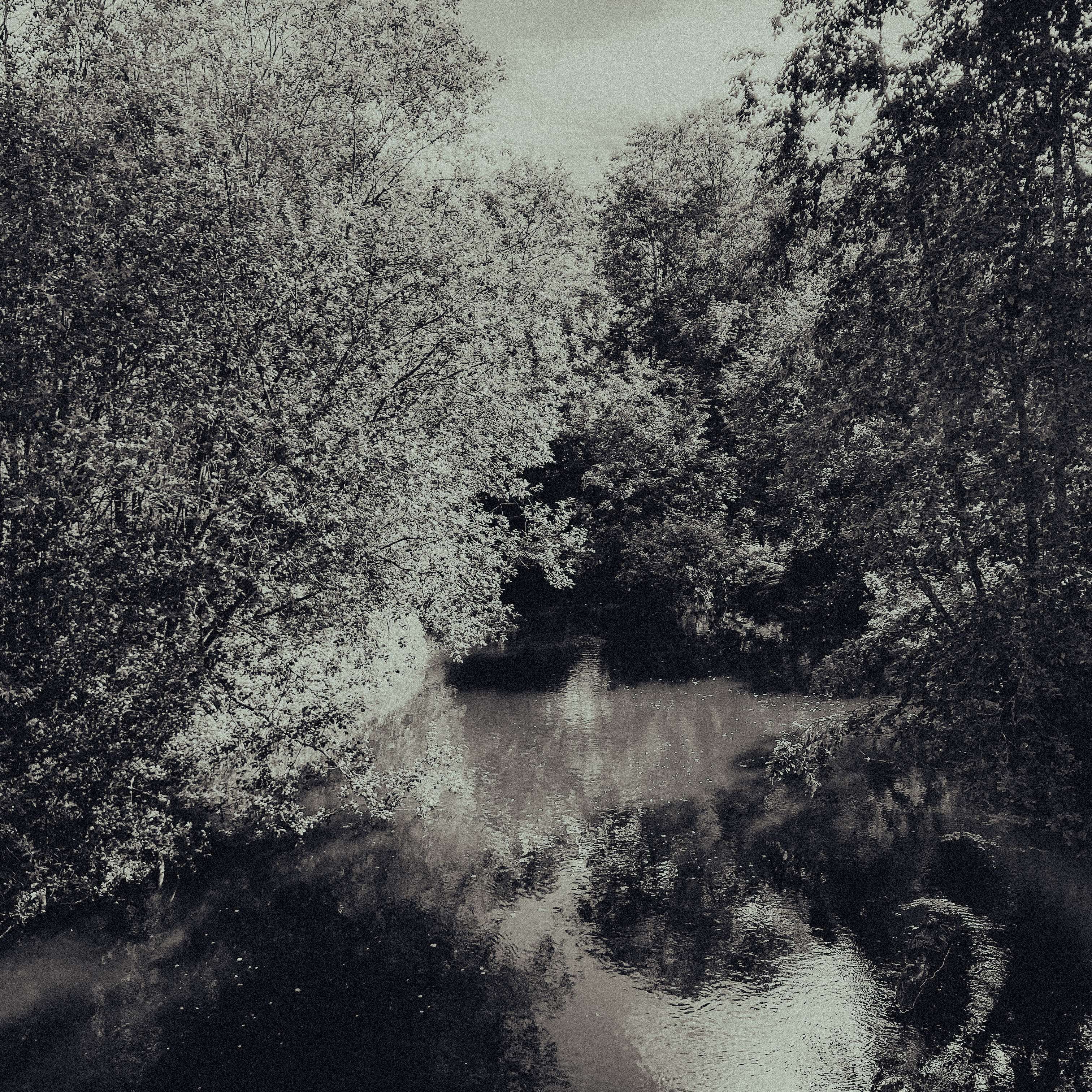
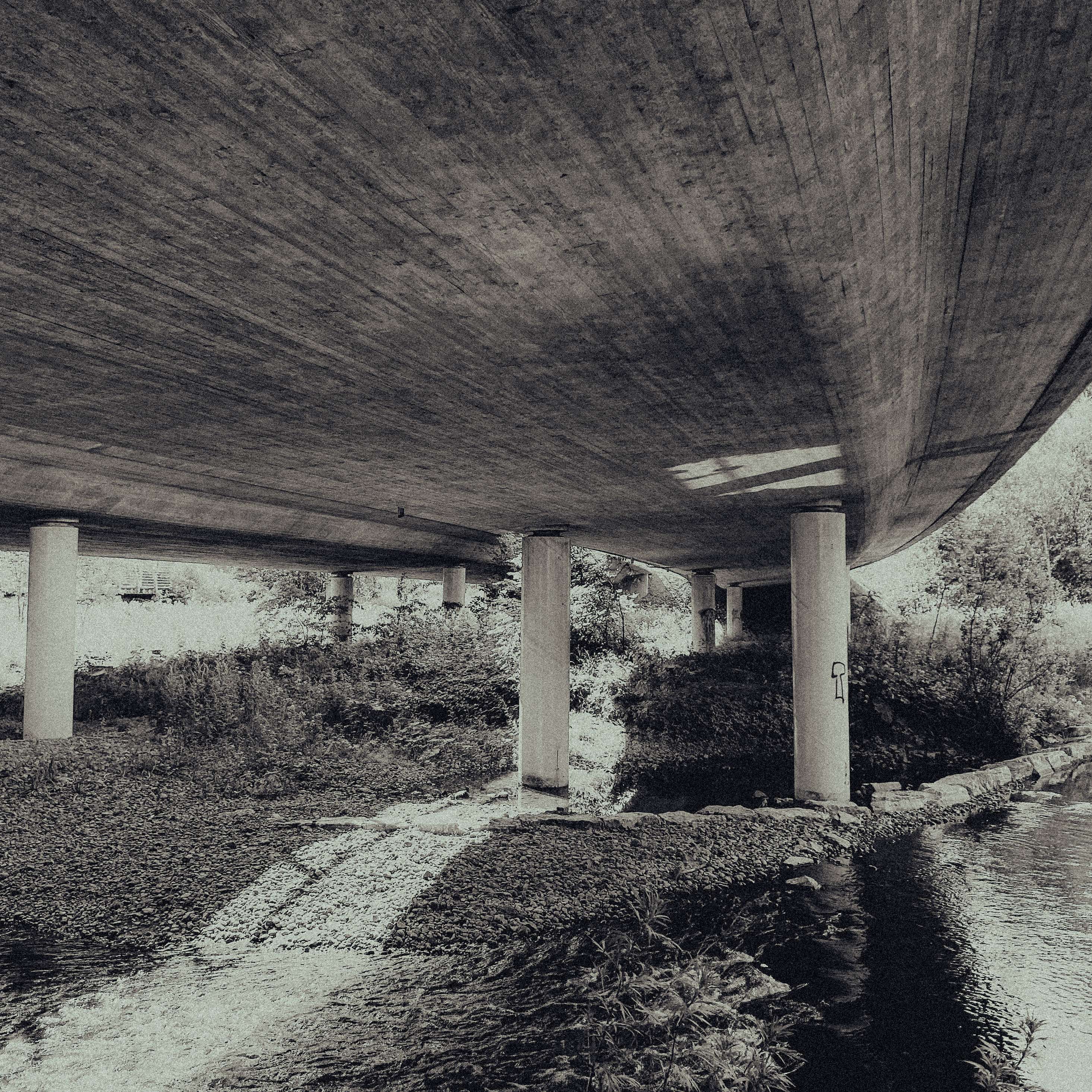
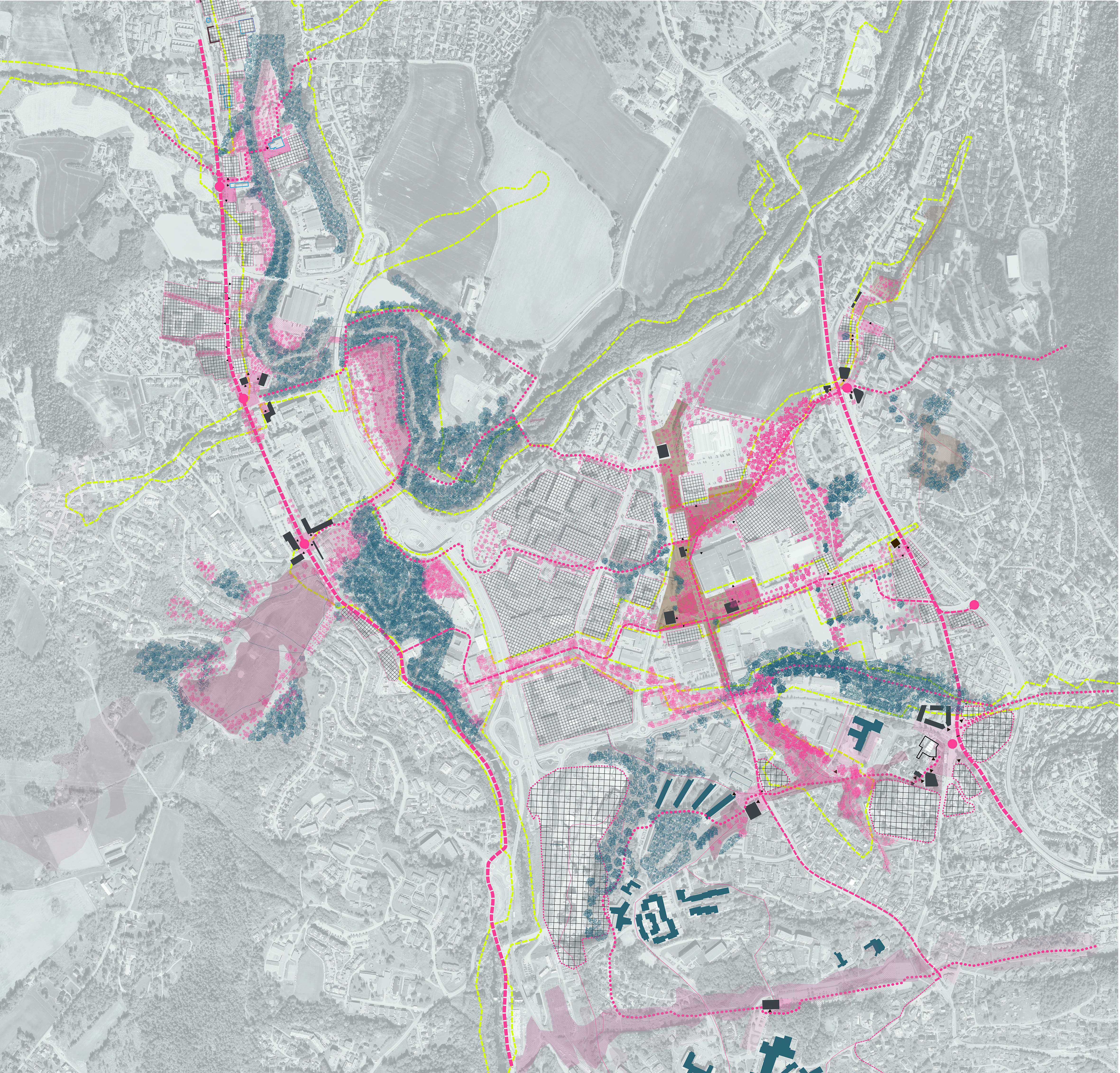
The case study of Bærum Vest, located outside Oslo, focuses on addressing peri-urban challenges such as socio-geographic fragmentation, encroachment on nature, and conflicting objectives. The study proposes a diverse range of spatial strategies and urban projects that leverage local strengths and qualities to improve the situation. By reconnecting fragmented nature systems based on projected ecological performance, the project aims to create a public realm that enhances social and ecological connectivity in peri-urban areas.
The plan and exploratory projects serve as a starting point for engaging stakeholders and provide the municipality with a solid foundation to develop a new strategic plan for the area. The mapping and guidelines aim to utilize urban development to rebuild nature systems across property lines, reconnect isolated ecosystems and waterways, and create a unified landscape that can be developed through incremental planning. This approach harnesses the dynamics of real estate, public investments, and the need for investments in public infrastructure to achieve a socially and ecologically resilient urban structure.
The focus extends beyond the protection of nature to transforming working methods and planning tools, enabling the integration of nature rebuilding and landscape logic within the urban form, particularly in peri-urban areas.
Fundamentally, the Open Neighborhood Project seeks to enhance ecological connectivity and promote social integration in the interim city. It acknowledges that physical environments contribute to and perpetuate social separation, and that limited access to or poor distribution of public spaces and services exacerbates fragmentation. Spatial justice, as defined by Soja, is a central concern: the fair and equitable distribution of socially valued resources and opportunities to use them. Additionally, urban territories face encroachments on nature, threatening regional biological systems and diminishing access to ecosystem services. The nature crisis is thus an urban problem as well. Addressing social inequality and ecological sustainability requires not only political considerations but also a focus on urban form. Designers and planners face the challenge of providing solutions that respond to how social inequality is perpetuated in physical urban environments and infrastructures.
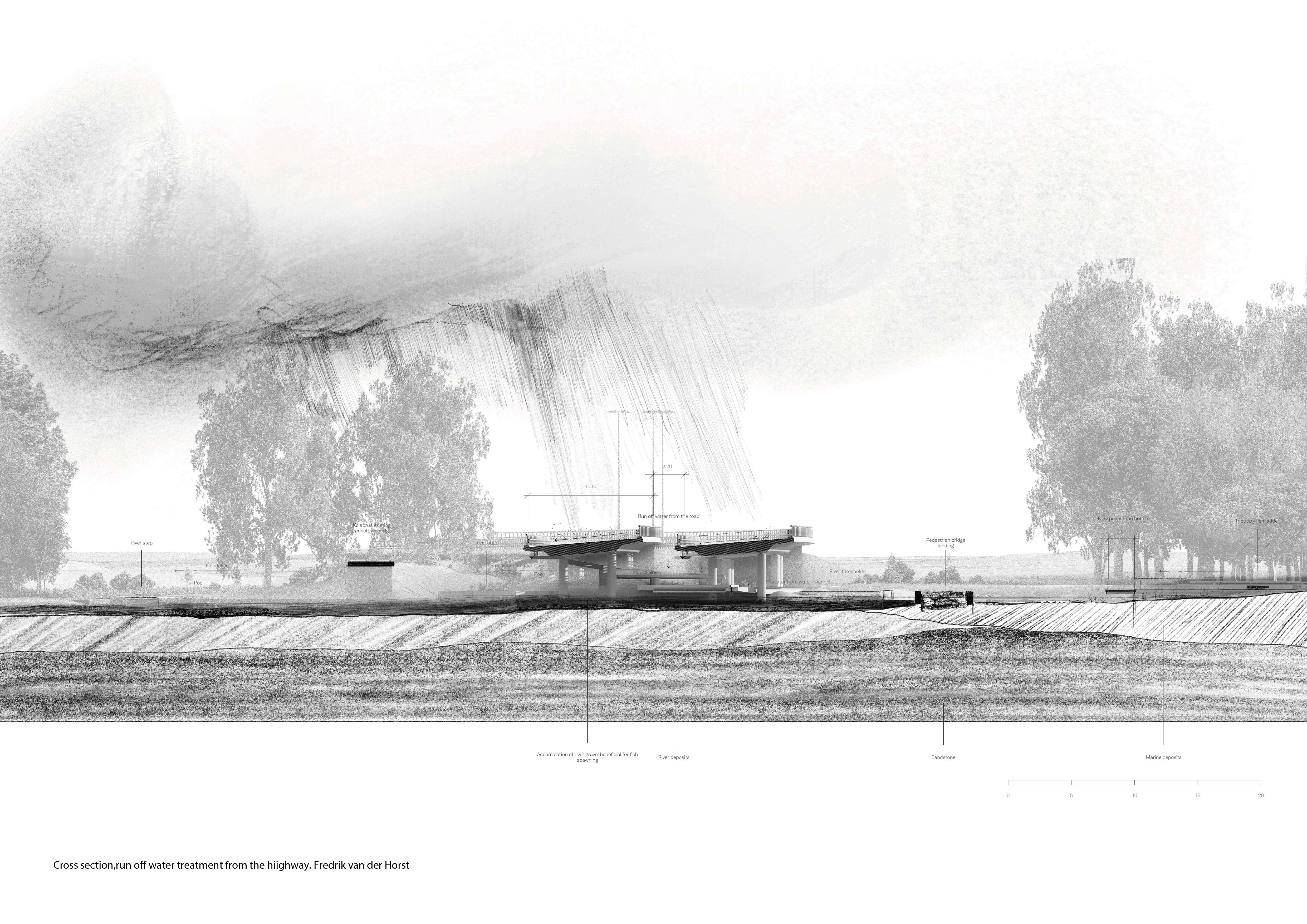
The resulting green lattice establishes links between residential areas, industrial zones, commercial areas, and road infrastructure. It identifies new strategic paths for public-private cooperation, redefines real estate hotspots, and identifies key areas for public awareness and investment. Through the implementation of green corridors and the promotion of soft mobility, the Open Neighborhood Project aims to establish new centralities that embrace the ambiguous, incomplete, and unresolved qualities of the open neighborhood. It seeks to define strategic tools for more inclusive social, political, and economic development processes in areas characterized by conflicting interests and fragmented land use.
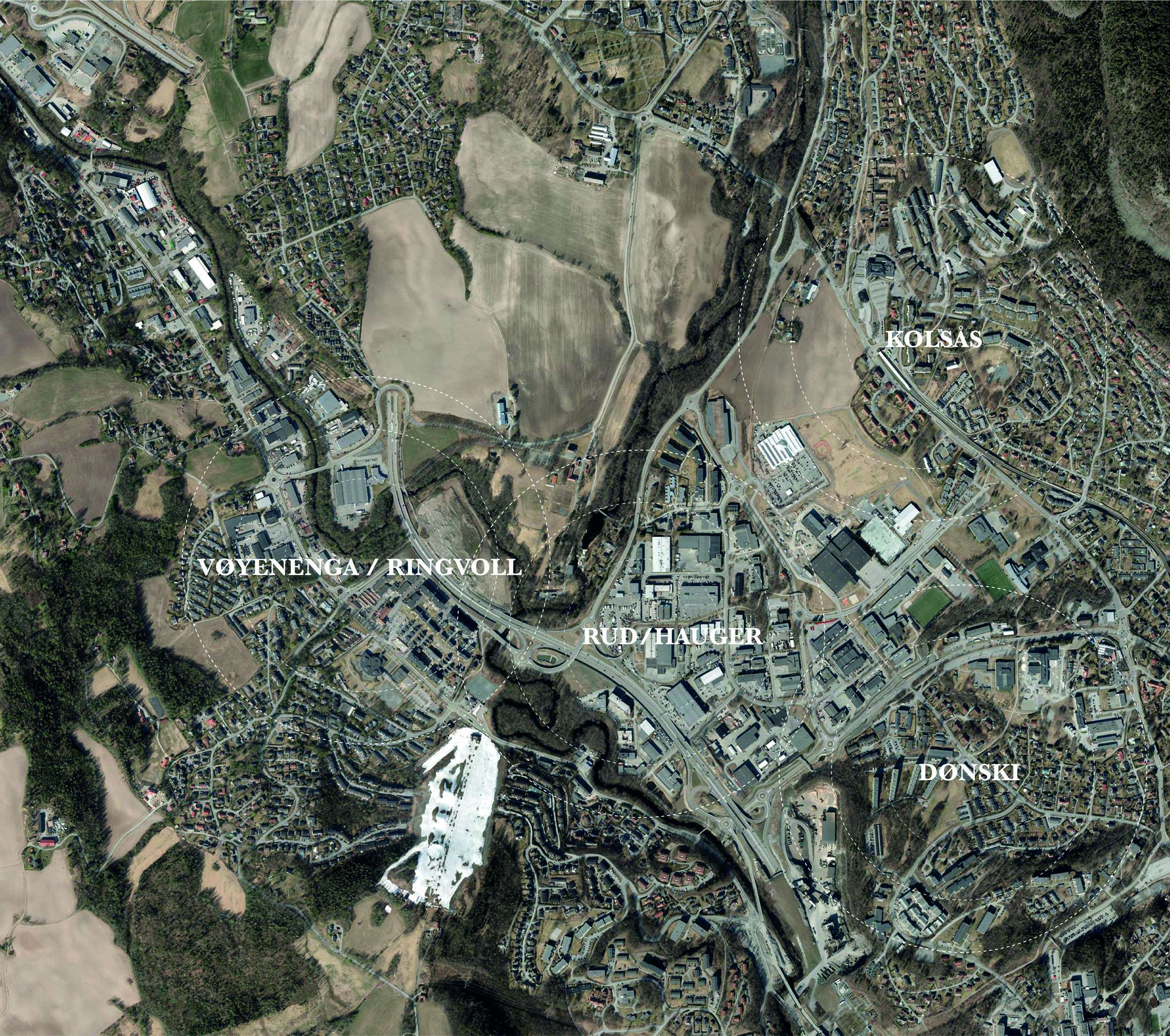
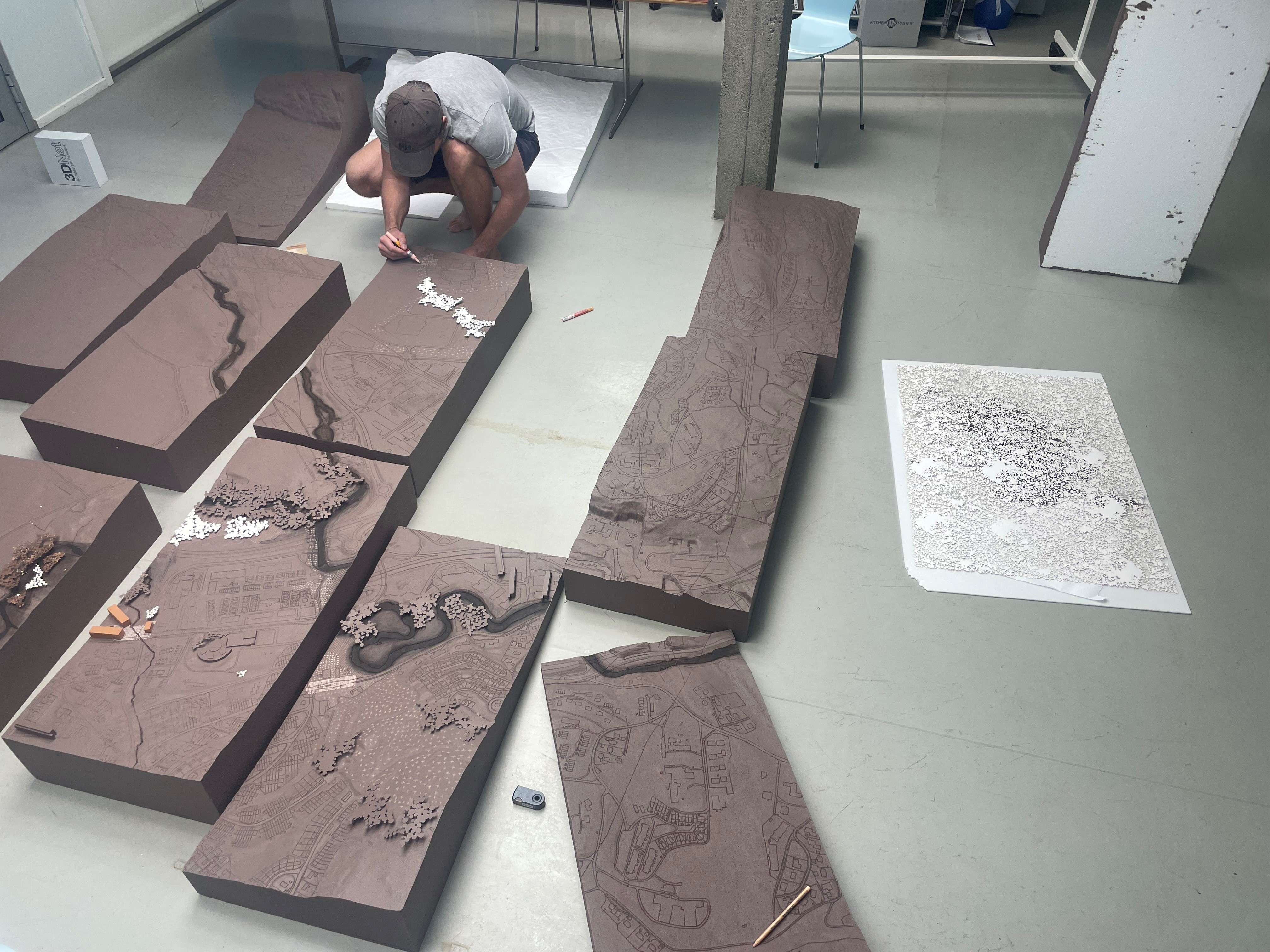
The work was presented during a kick-off event for the strategic plan of the area, featuring an exposition, a guide-plan with a report, a 3x3m model of the intervention in 1:1000 and an exhibition hosted by the municipality and headed by Jannike Hovland, Head of Urbanism.
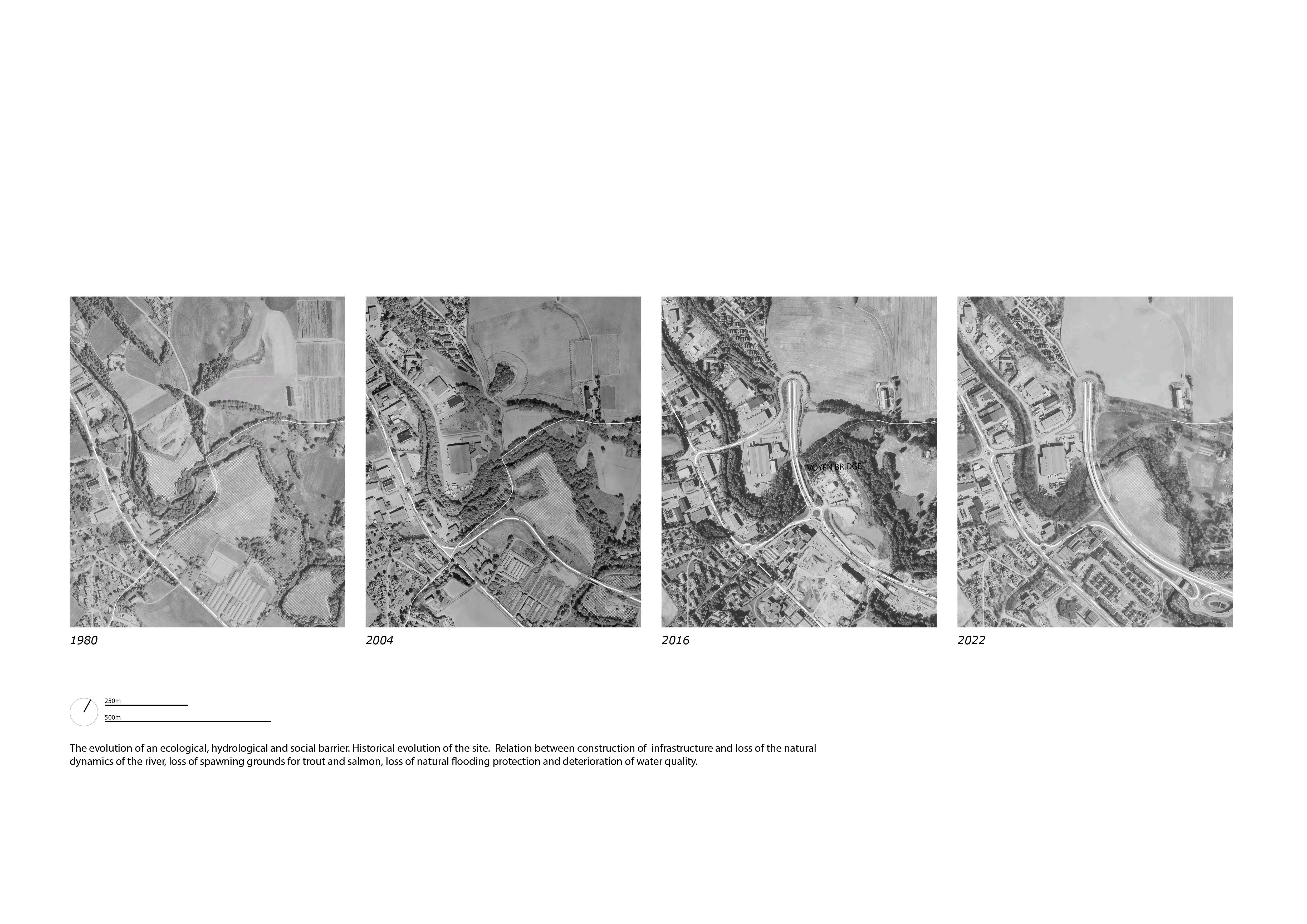
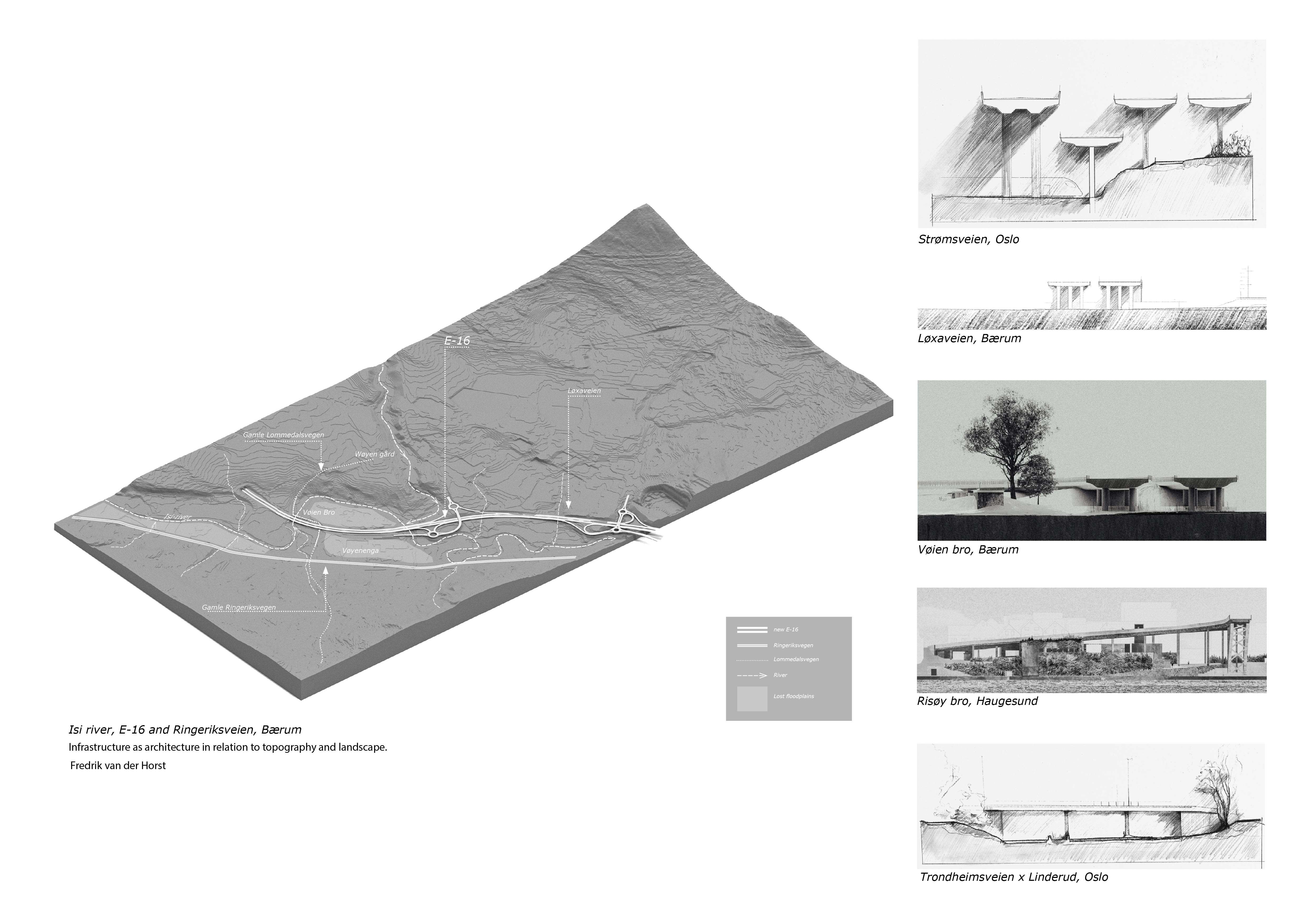
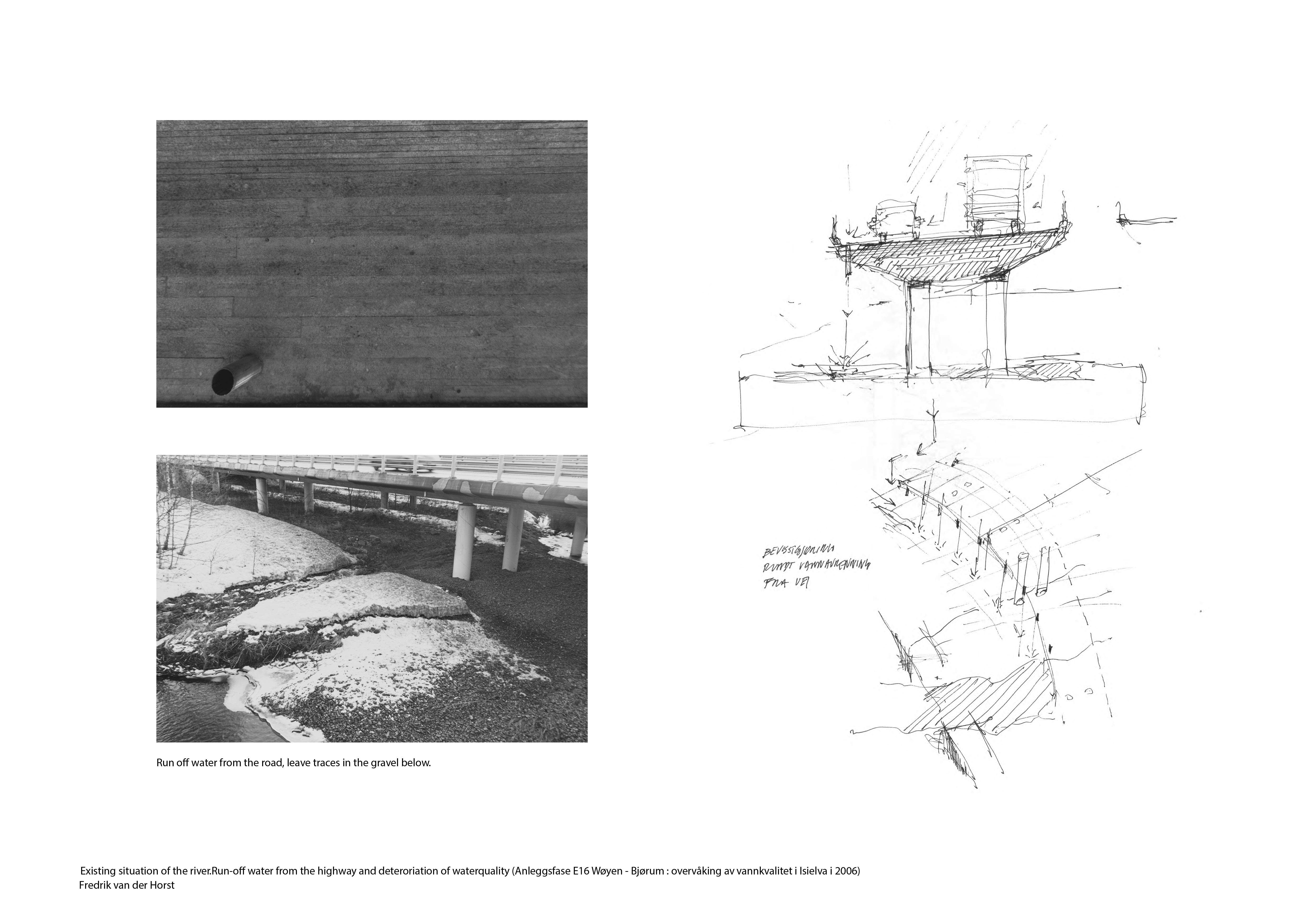
This project is developed as part of ongoing research on periurban form. It was in its early stages part of the exhibition "Mission Neighborhood – (Re)forming communities" at the Oslo Architectural Triennale, where we explored the notion of spatial justice defined by E. Soja as the "fair and equitable distribution in space of socially valued resources and opportunities to use them" in the everyday urban landscapes of Norway. And on how to use landscape as restructuring for social, ecological and hydrological needs in the peri-urban form. We focused on the vast and shapeless habitats along and in-between infrastructures, logistical installations, and agricultural areas. The work includes case studies in European cities that have "rescaled" infrastructures and reconnected neighborhoods, aiming to increase social integration across barriers. The research served as a backdrop for the third-year urbanism and landscape studio in the fall of 2022 and the project presented here at the Biennale.
The work features an ongoing exploration of a particular peri-urban condition in the metropolitan area of Oslo, questioning the challenges - but also the potentials - hidden in the fragmented and dispersed areas. We aim to explore what spatial models and approaches are needed to secure "spatial capital" as a social sustainability strategy in peripheral neighborhoods where the logic and resilience of the landscape need to structure urban form and development.