The Green Ring
Planning in historical context studio
Politecnico di Milano - Polo territoriale di Mantova
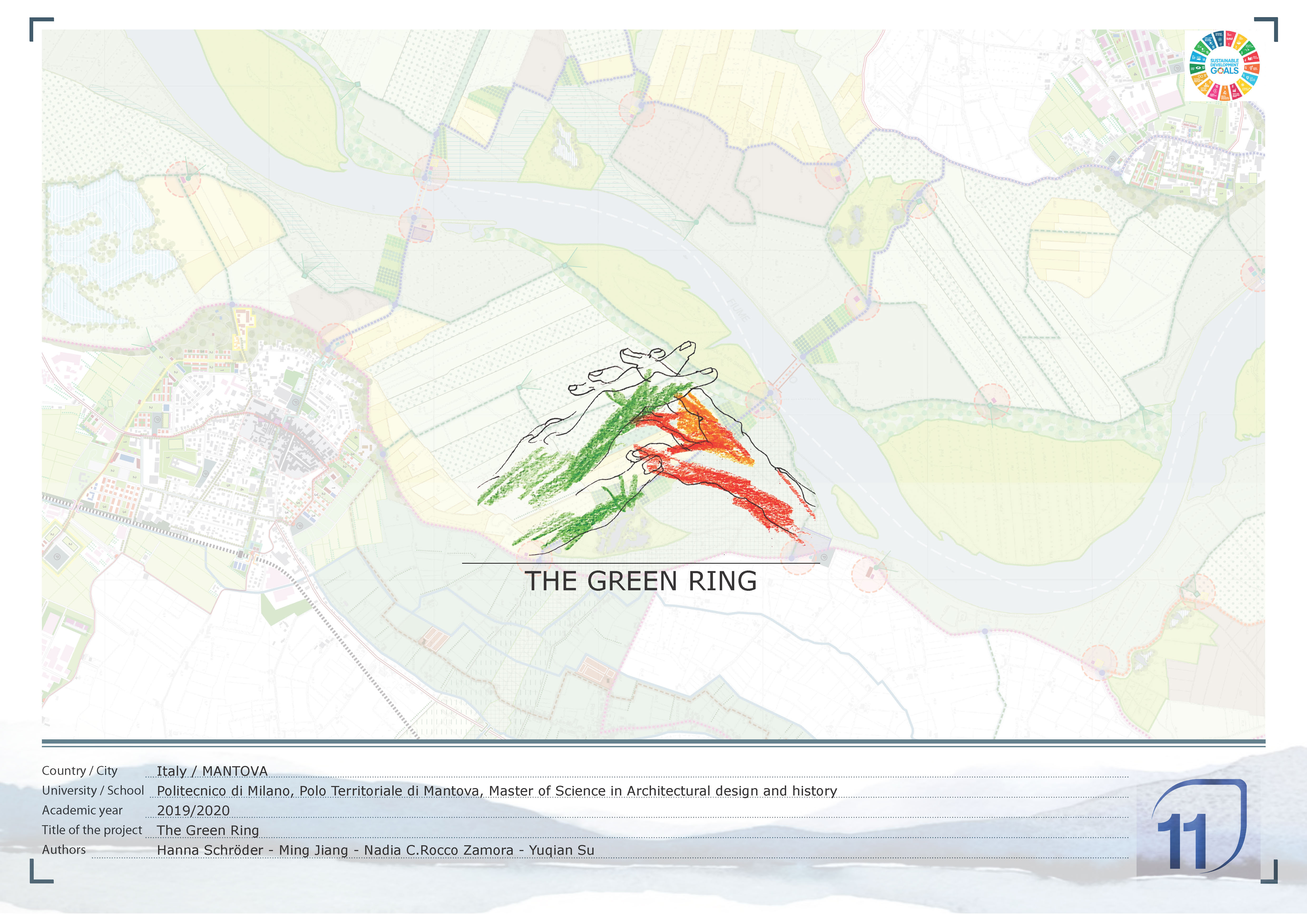
The project worked on two different scales. On the first scale, we can perceive the first traces of our green ring. It’s constituted by two main sections, which start and end at several different nodes with diverse purposes: a river connection node, a biodiversity research node, an environmental node and an agricultural node. The river and its surrounding protected areas trace the mainframe of the green ring. We extended them along the north part to act as a buffer along the river.
The secondary part of the green ring is "landscape-based", following a mix of historic and current river and canal flows, shaping the circuit into a complete loop while better connecting the neighbouring cities and allowing an interesting experience for tourists and locals through the different landscapes of these regions.
When we move into a smaller scale, our design starts to create individual green rings for the different cities through a series of different green parks, which depending on their location can change their purpose, acting as buffer areas and transition elements.
These green rings also take the shape of green connections through the cities to enhance the existing and new axis. The city’s inhabitants may enjoy on the riverbanks, respectfully connecting them with a series of nature paths and cycle routes throughout the agricultural and natural landscape.
By doing so, we are complying with the Sustainable Development Goals 2030, not only 13 - Climate action but most notably Goal 11 - Make cities inclusive, safe, resilient and sustainable.
