MAGLIA BOSCATA. Urban reforestation in the hydrographic border of the Magliana Stream
Final degree dissertation
Roma Tre
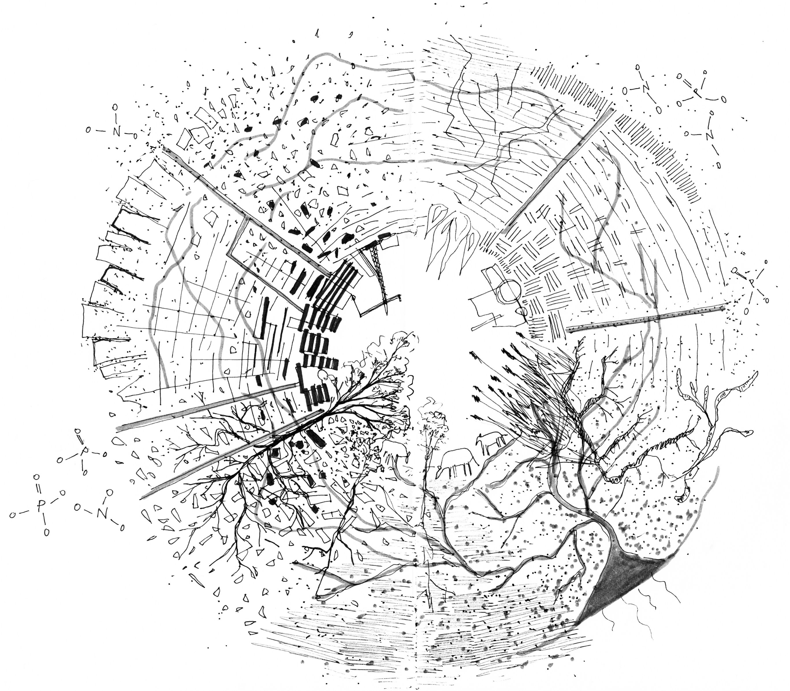
Geography determines settlement. The development of the built environment is inevitably the spatial result of a morphological, climatic, hydrological advantage. Even in an urban context it is possible to decipher minute or territorial manifestations of geographical metabolism, understanding geography in its morphological and ethological dimension. Rome is in the Tiber. Its territory recounts a wide alluvial valley served by a complex and ramified hydrographic network dug between two volcanic flows; this conformation has generated the dense alternation typical of the Roman countryside between cereal cultivations and oak wooded espaliers. The Magliana Stream’s basin is strongly asymmetrical, unbalancing the built-up area on the left hydrographic side, on the side of the city centre, with a comb-like structure on the main ridge. The valley, a fertile relict of the Roman countryside, would have played a border role in the development of Rome, the beginning of the non-city. In this sense, the hydrographical right is destined to materialise the potential forest that the whole basin aspires to re-form, precisely to strengthen the border. “To inhabit the world is to join the processes of formation”. (INGOLD T., 2019)
This is where the project begins, in the formal and functional definition of the negotiated encounter between the forest and the city; the proposal for reforestation in the valley takes on the configuration of a reserve, an agricultural site or a park, progressively insinuating itself into the fringes of the urban fabric, seeking cohabitation between the ecological, productive and social needs of this contested area.