


Kumutoto
Kumutoto
Kumutoto
Kumutoto is the northernmost site of a sequence of open spaces that have re-imagined Wellington's Waterfront. Close to the capital's financial and business district, with an outlook over Lambton Harbour and the Remutaka ranges beyond, a kainga (village) once stood here. Later, wool was stored, spun and exported from vast storehouses and wharves. At the time of the master plan, Kumutoto’s industrious past had ended and was little more than a car park; the once-important stream buried in a culvert under decades of asphalt.
‘Push the city out’ and ‘let the sea in’ are the two moves that form this final stage of Wellington’s reorientation. Kumutoto provides new pedestrian connections, extending the city grid to the coastal edge. ‘De-claiming’ the buried mouth of the Kumutoto Stream once lost to the city — it now lets the sea in, and gives people a place to enjoy.
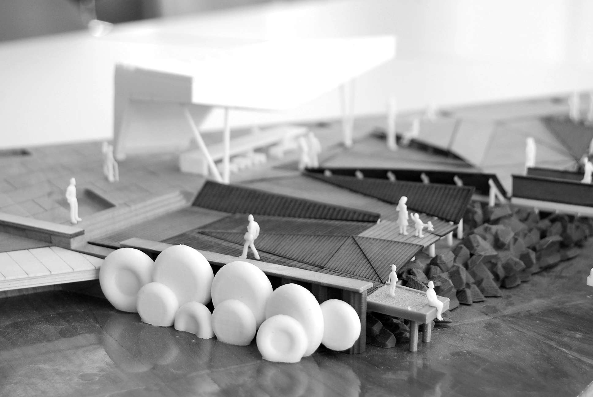
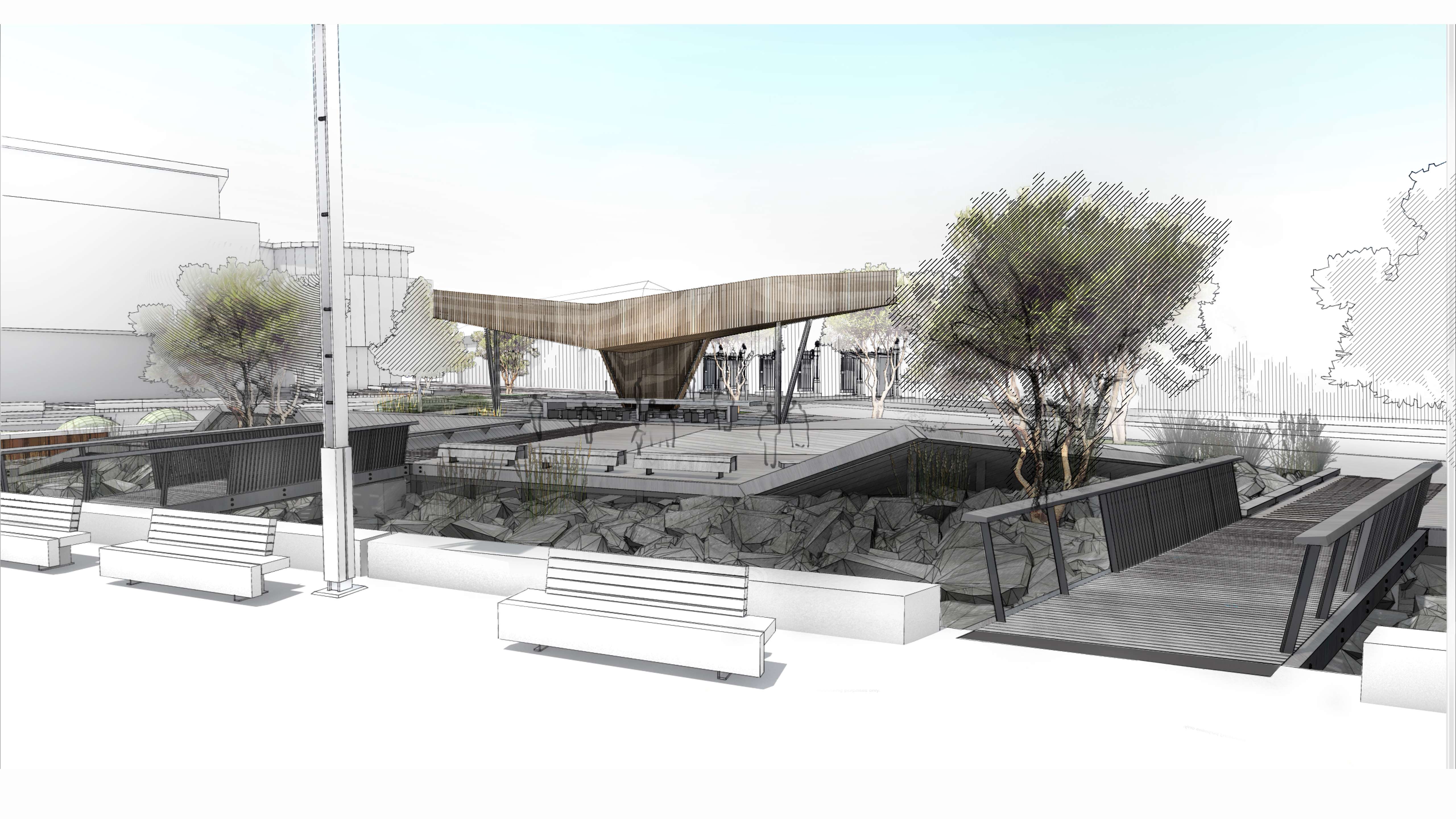
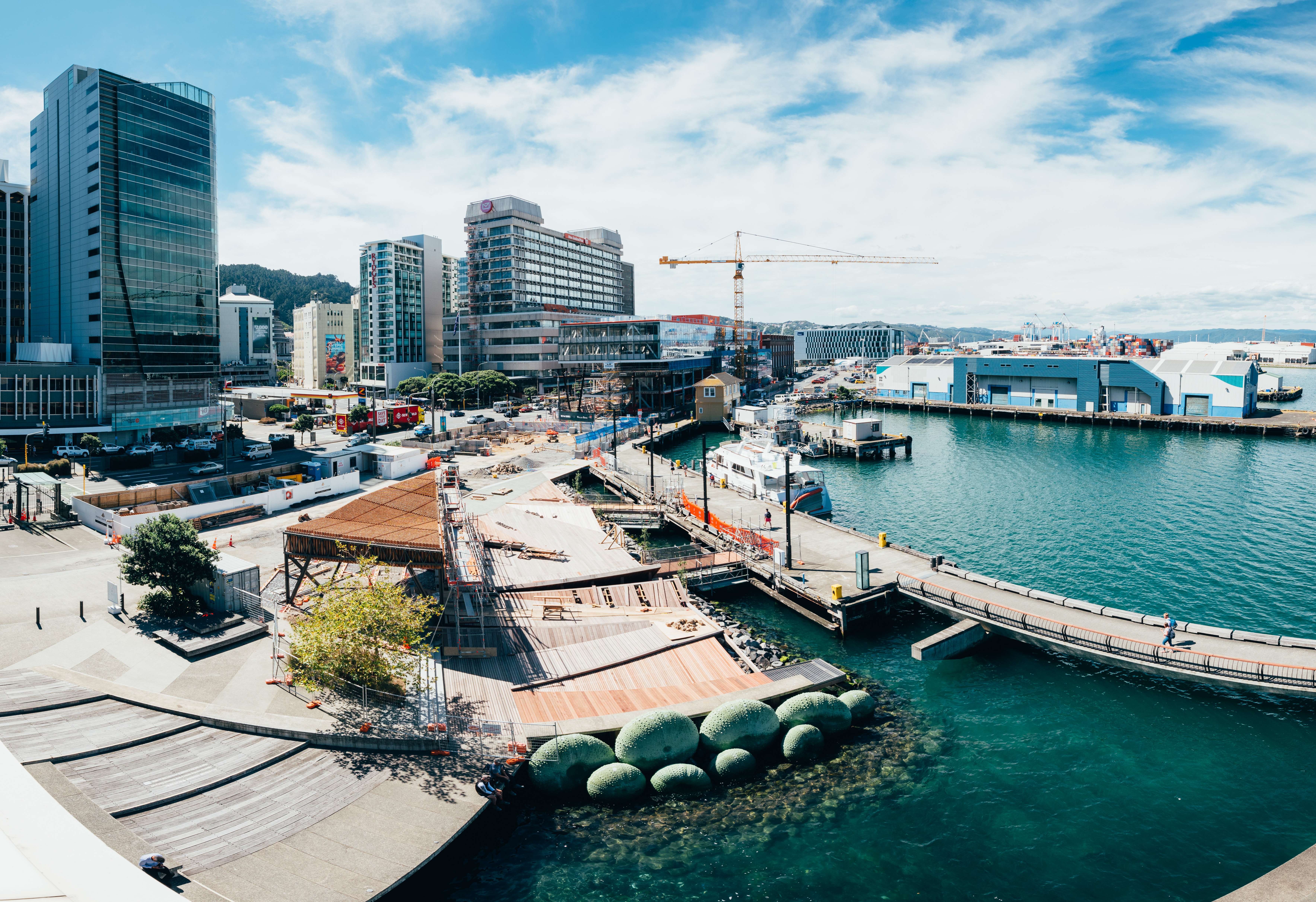
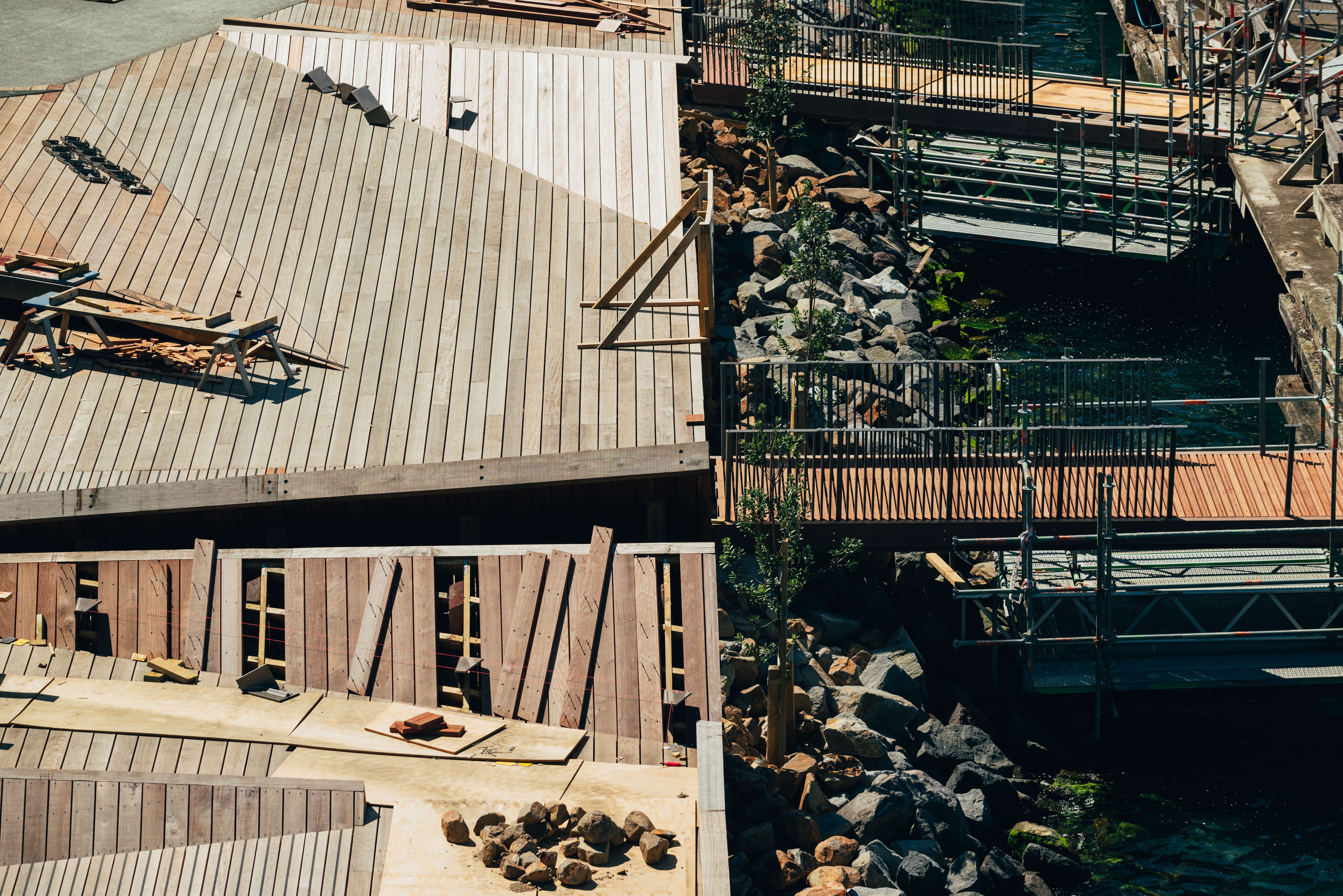
North Kumutoto is a reinterpretation of Wellington’s wharves, a folded public space that hovers above the coastal edge and shields and creates habitat for flora and fauna including kororā (blue penguins). A pavilion sits at the centre, civic in scale and open in structure, providing dappled shade and welcome refuge from predominant winds.
Robust exposed-aggregate and honed-concrete panels terrace to the sea, continuing the city grid to the water. Large kerb stones along the new laneway create a visual connection to the heavy stonework of the old sea wall, while re-laid wharf timber setts provide heritage memory and warmth to the ground surface.
Kumutoto delivers on a number of intentions: marking the point of historical and cultural connection of the kainga, whenua and moana (village, land and sea); improving local habitat by daylighting the Kumutoto Stream mouth; tracing the Victorian promenade and seawall by establishing a social, vibrant laneway along its lost edge. Kumutoto literally opens the historic port gates to the public and stitches the life of the city back to Te Whanganui-a-Tara (Wellington Harbour). Whether commuting, lunching, visiting or playing, this is a place for all.
Collaborators
NZCEL
Tonkin & Taylor
Aecom
Toulouse
Stantec (previously TDG)
Archifact
Studio of Pacific Architecture
Consultants
Beca
Rider Levett Bucknall