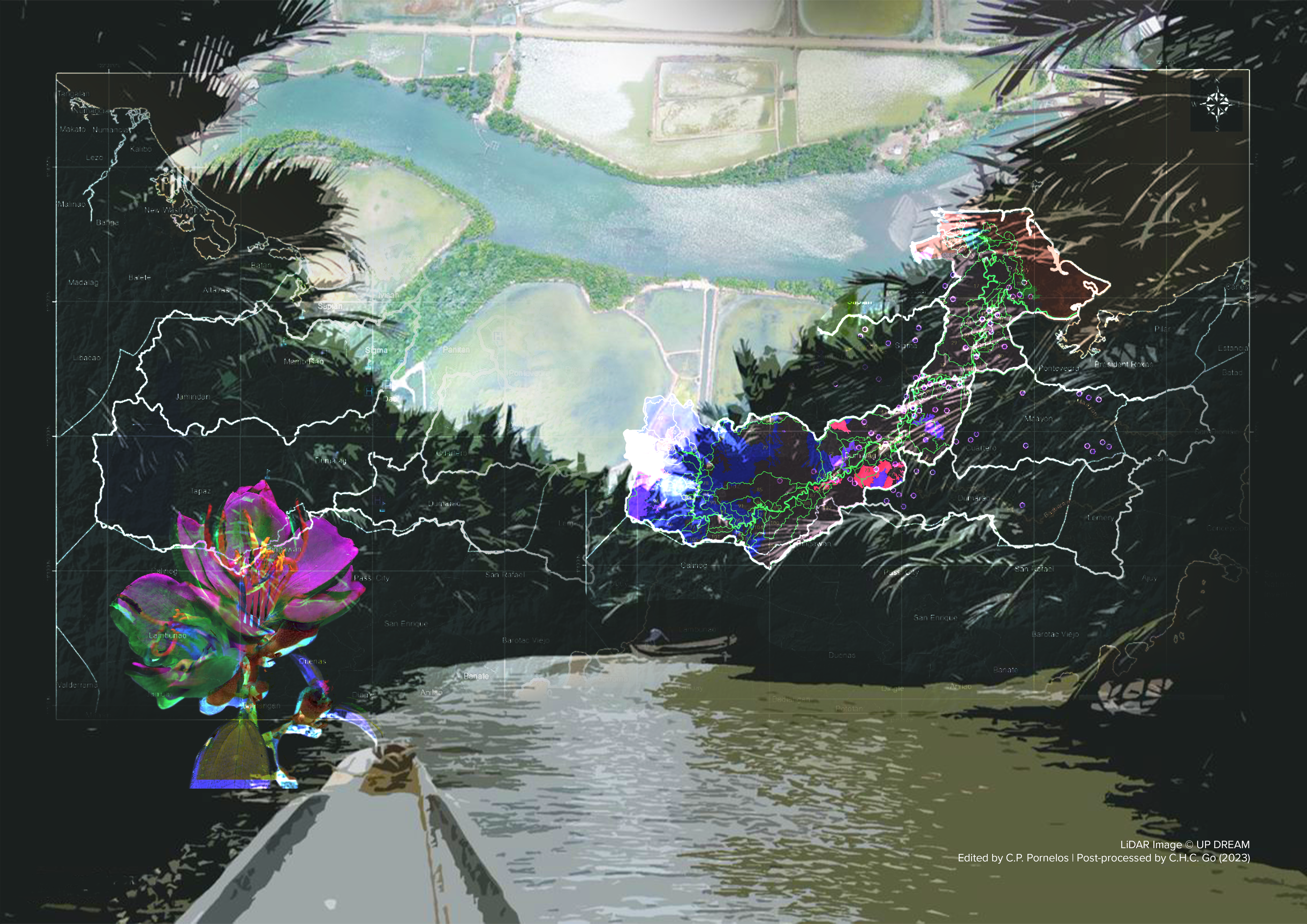
Panay River Sub-Basin Environmental Baseline Data Initiative
L Arch 205: Landforms and Other Nature Forms
University of the Philippines Diliman/College of Architecture
A comprehensive understanding of an area necessitates a thorough comprehension of the influences exerted by landforms and other natural phenomena on decision-making processes across various conditions and circumstances. To facilitate this understanding, the Panay River Sub-Basin Environmental Baseline Data Initiative strives to generate updated datasets that can be effectively utilized by the local and provincial government for conducting a comprehensive analysis of the Panay River sub-basin. This research endeavor is guided by three primary objectives. Firstly, it seeks to address the existing information gap regarding the physical characteristics of Capiz's scope within the Panay River Sub-basin, thereby contributing to sound planning, policy-making, and decision-making processes. Secondly, the initiative aims to identify and document significant geographical and environmental properties and characteristics of the Panay River and the province as a whole. Lastly, it aims to provide informed recommendations and conduct planning and design analyses based on the most current and up-to-date information available. By achieving these objectives, the initiative endeavors to enhance the knowledge base and resources necessary for effective decision-making and sustainable development in the region.
