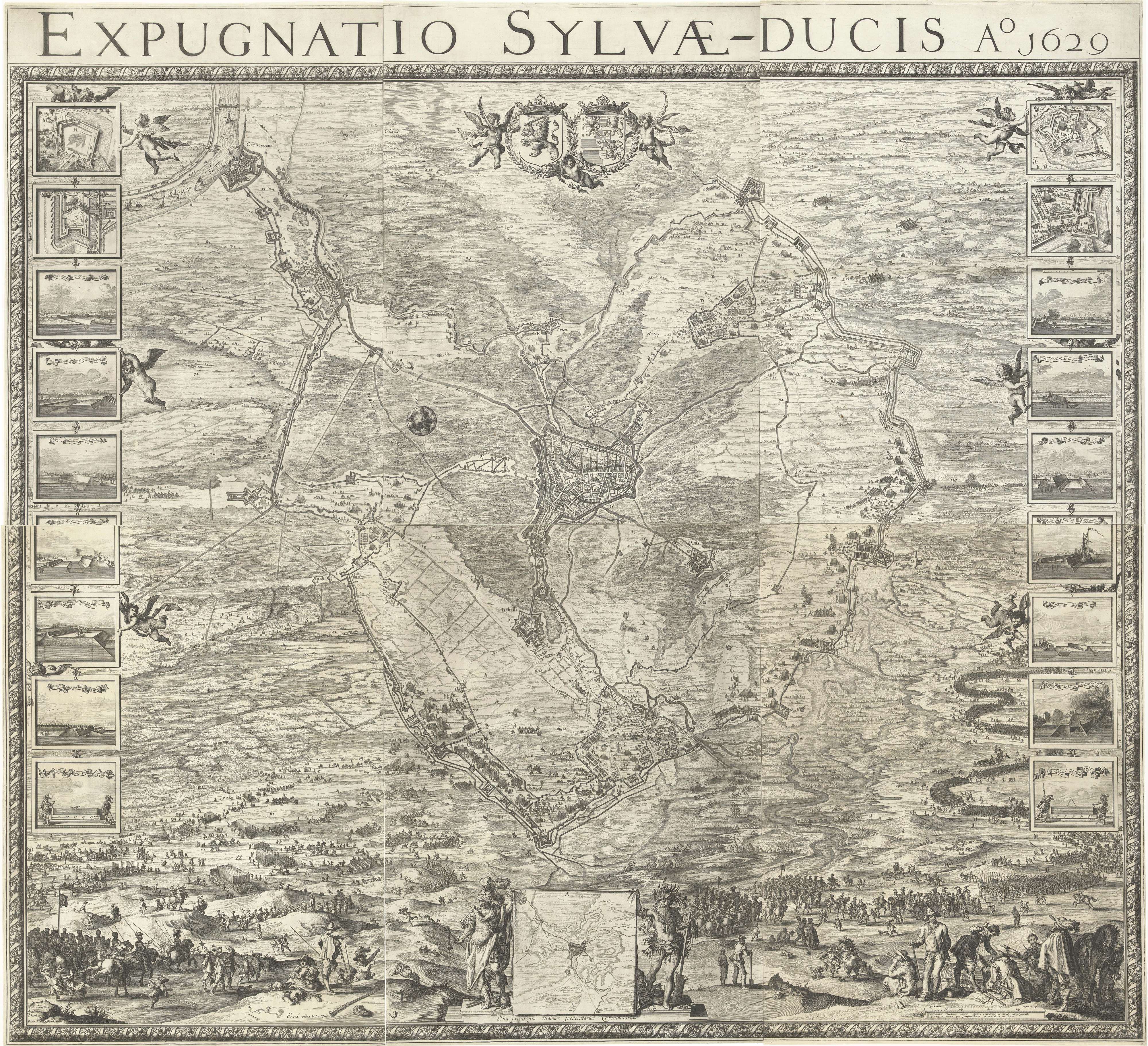
Line 1629
Line 1629
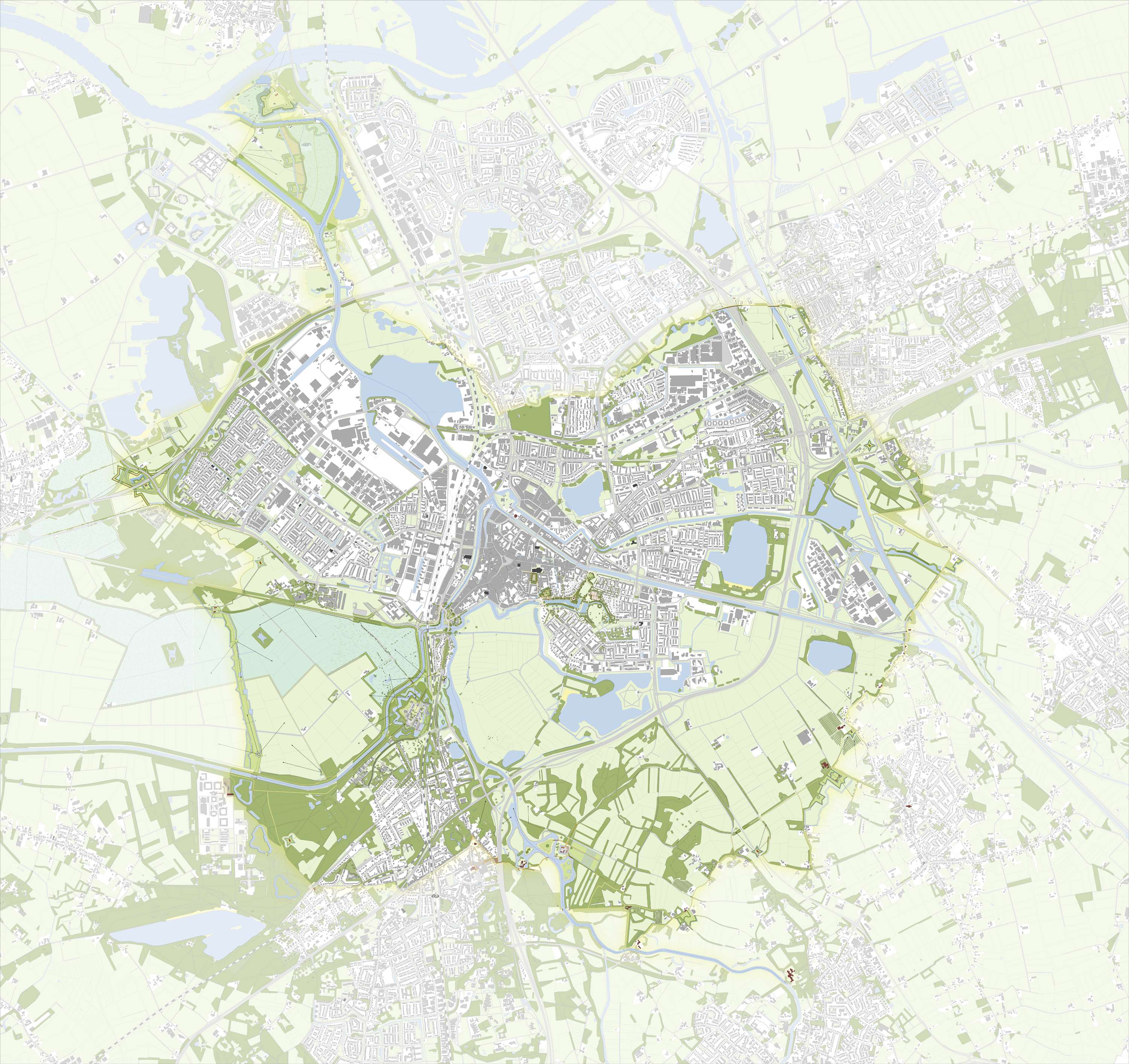
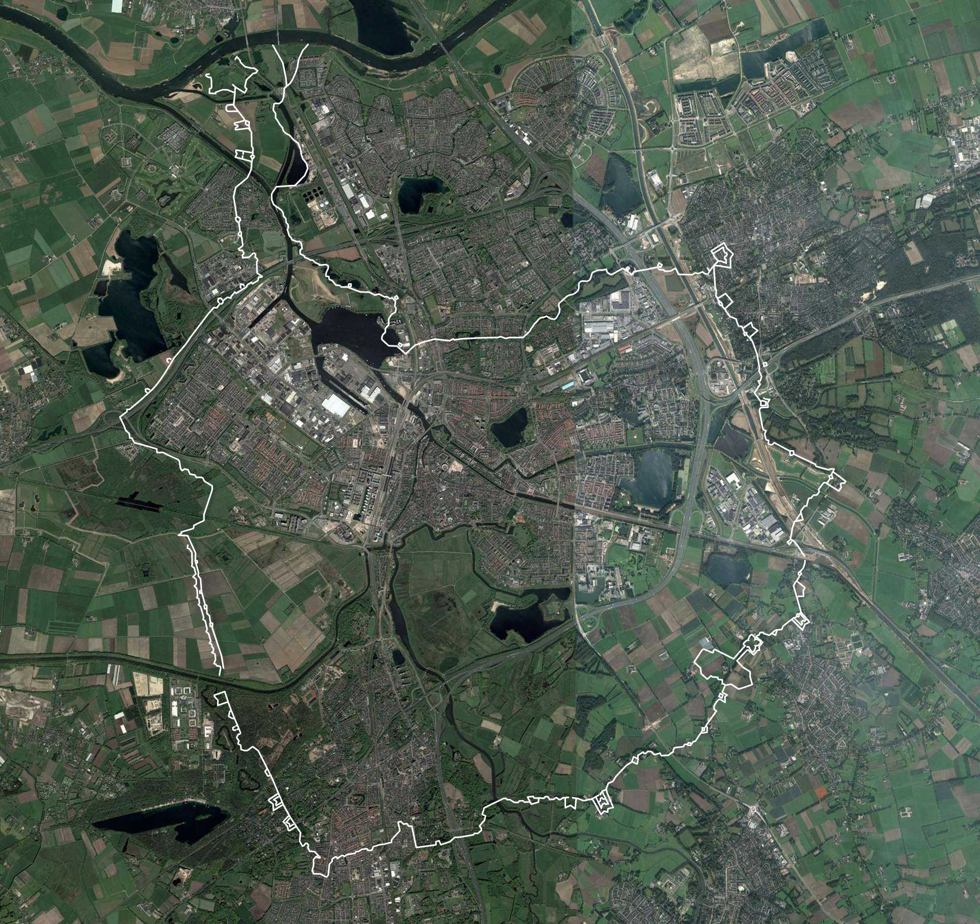
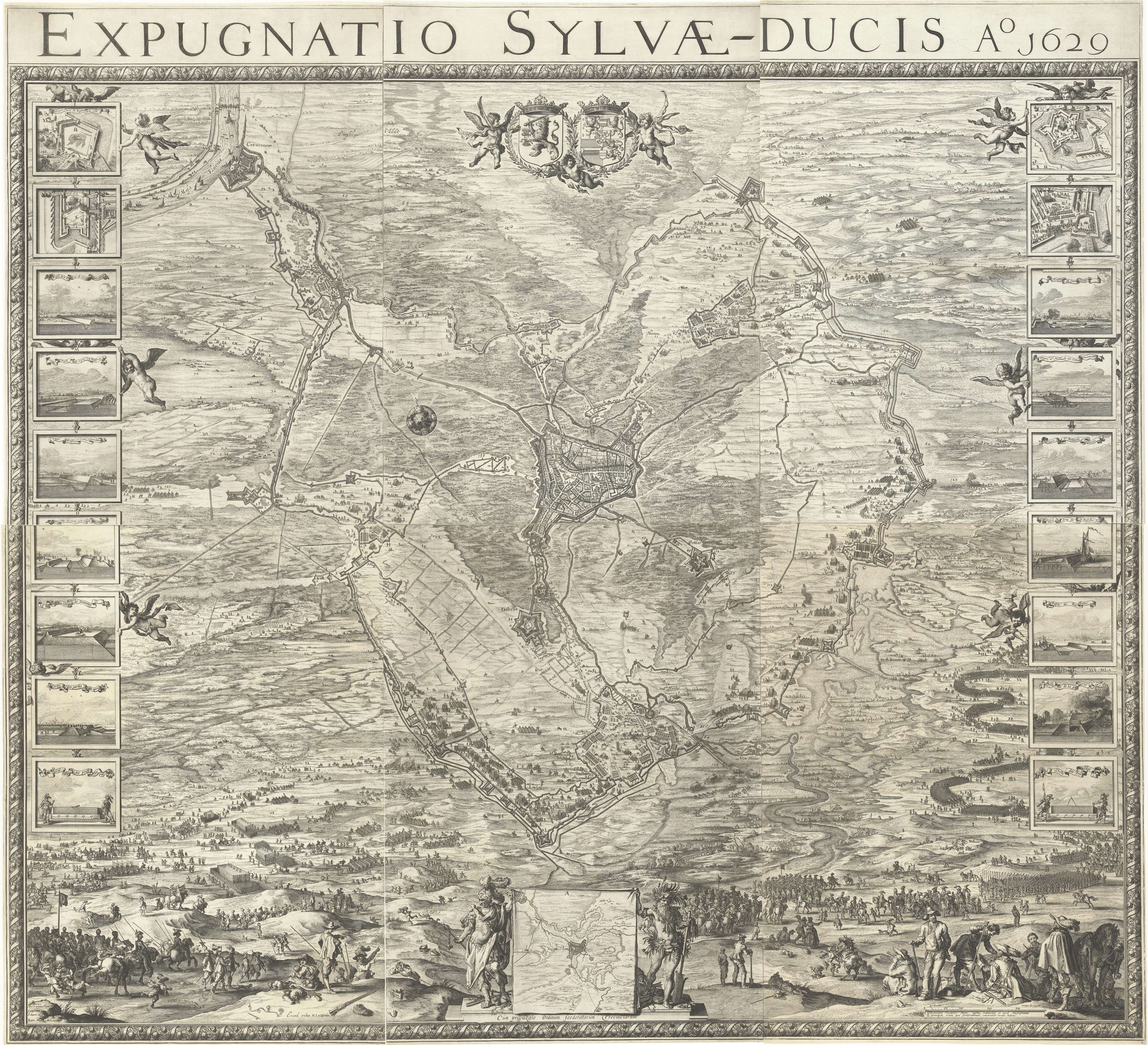
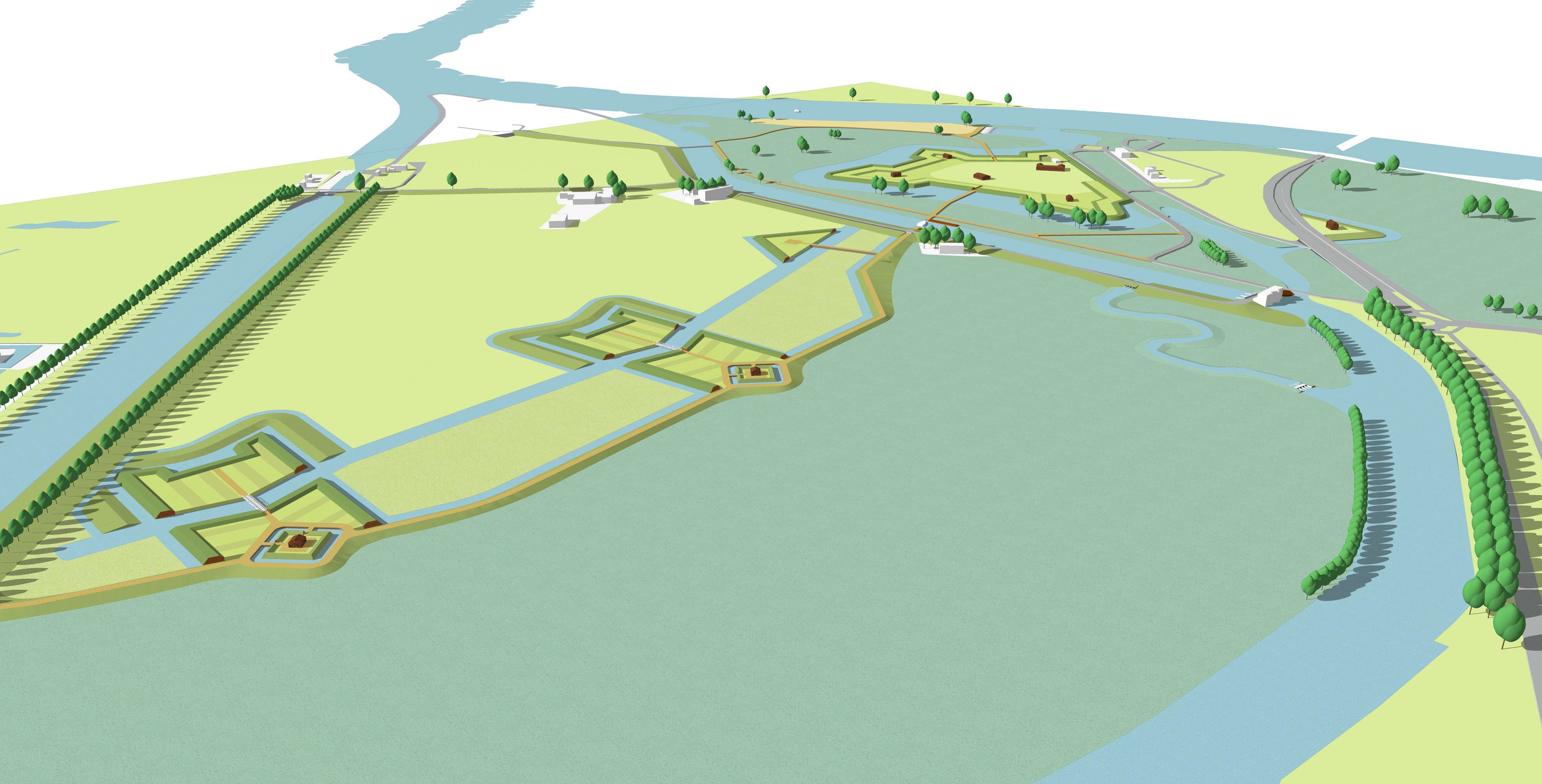
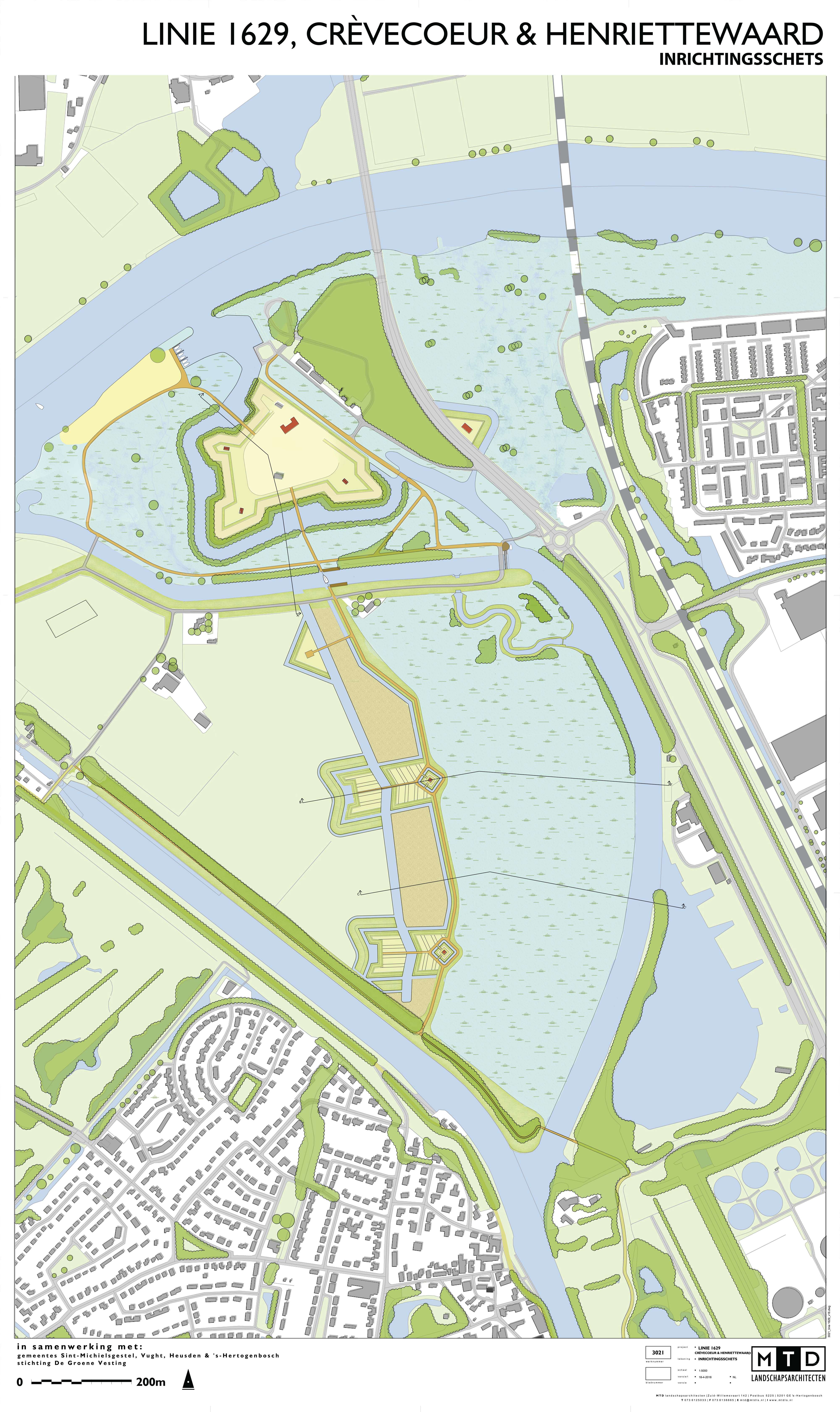
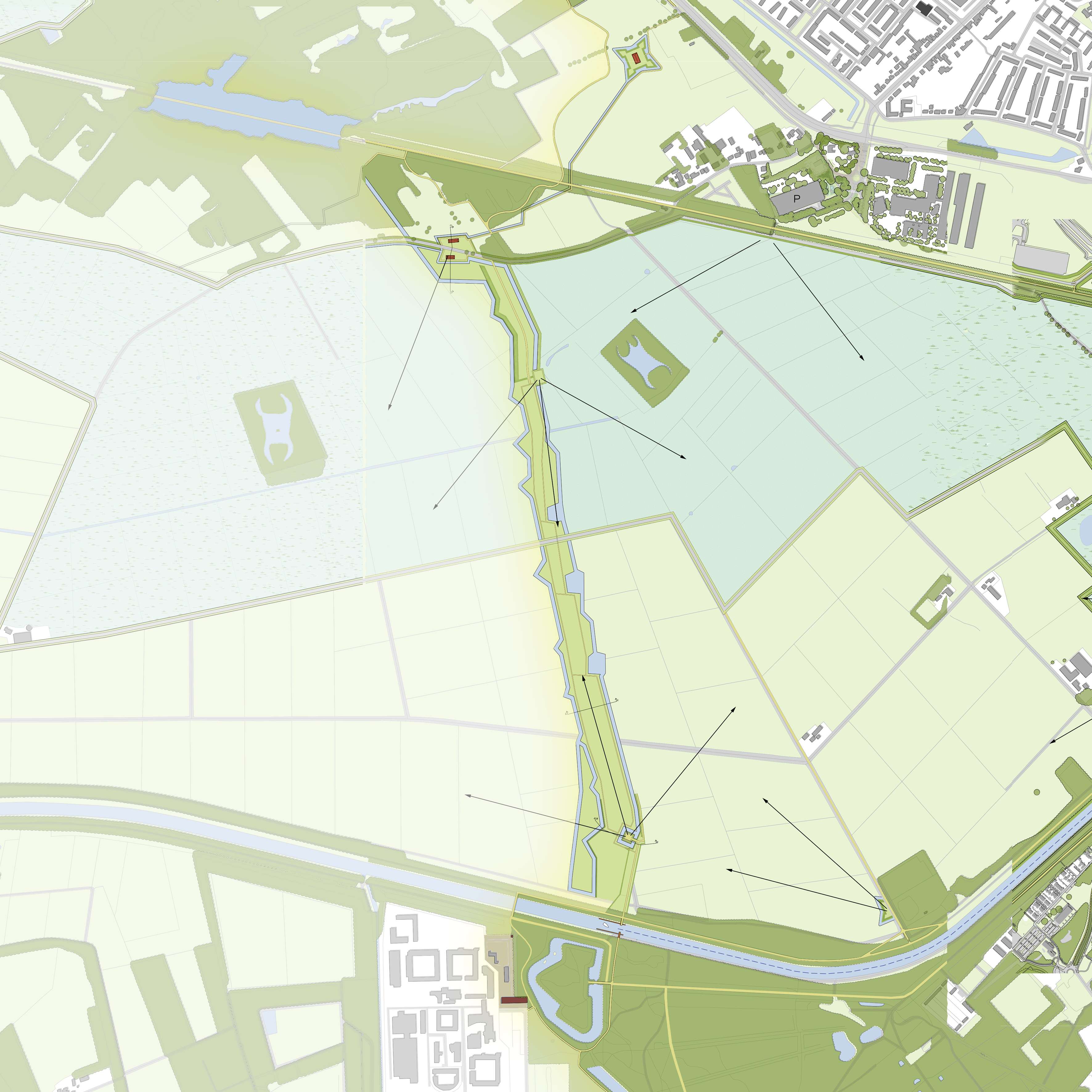
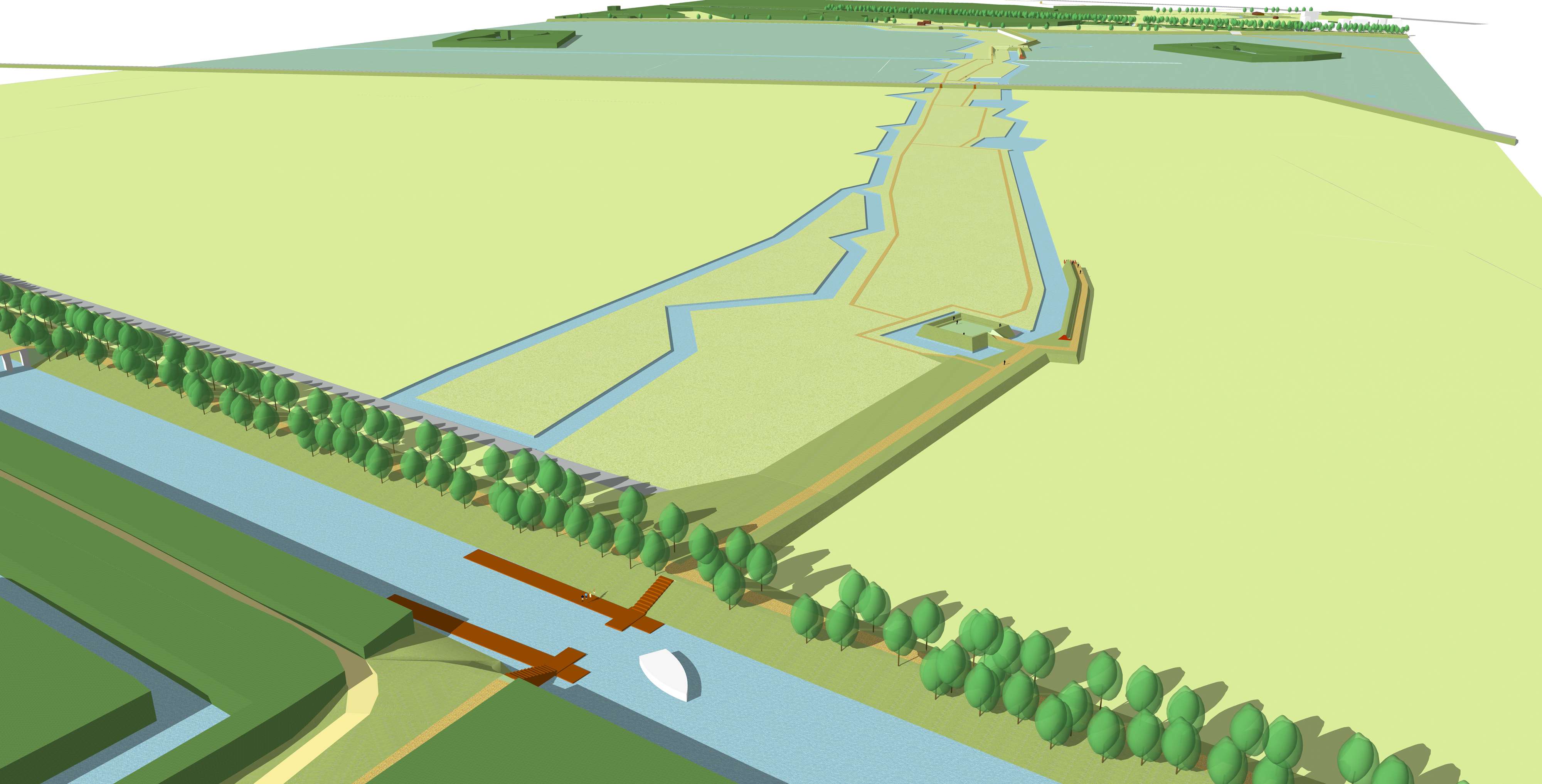
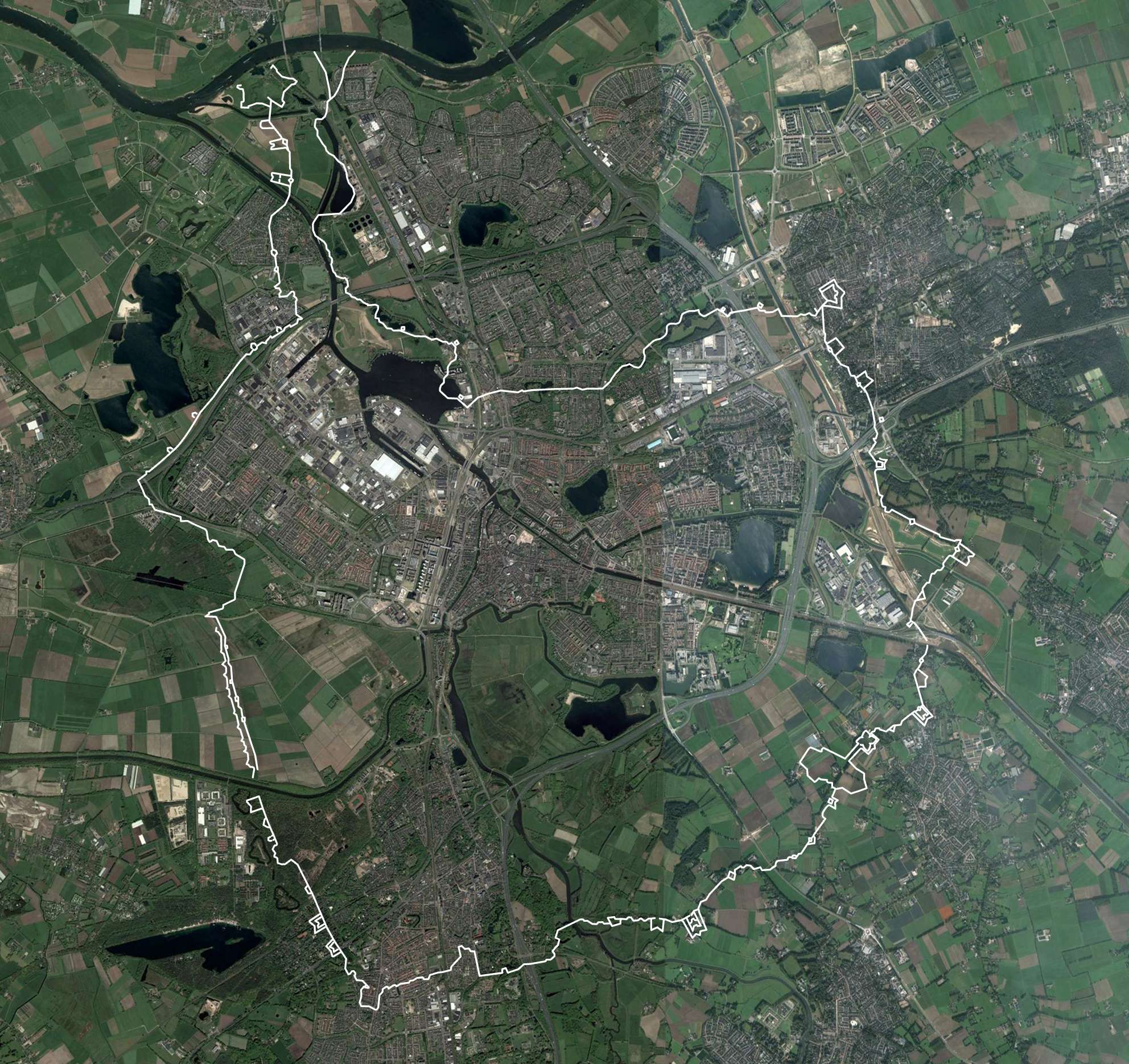
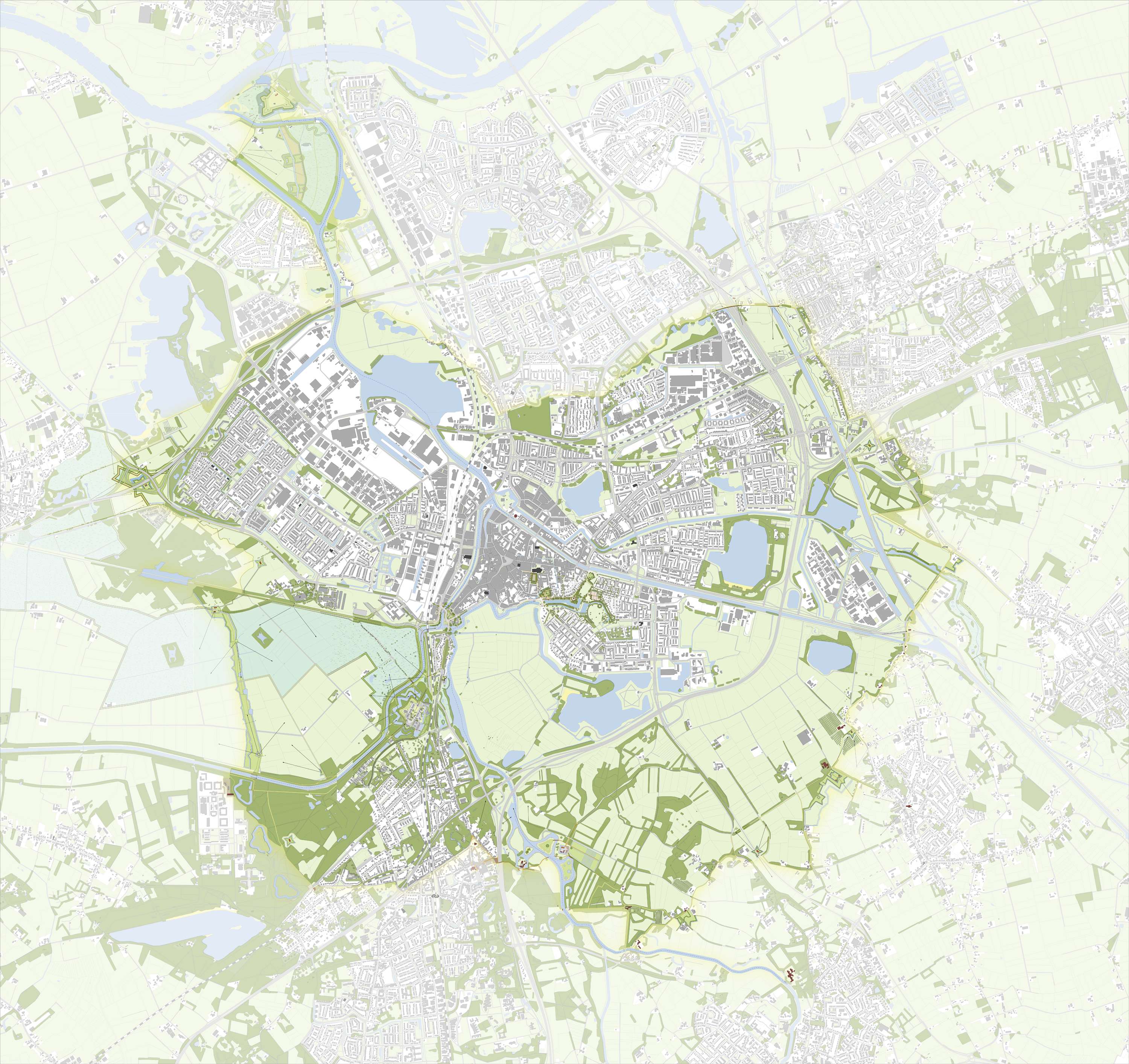
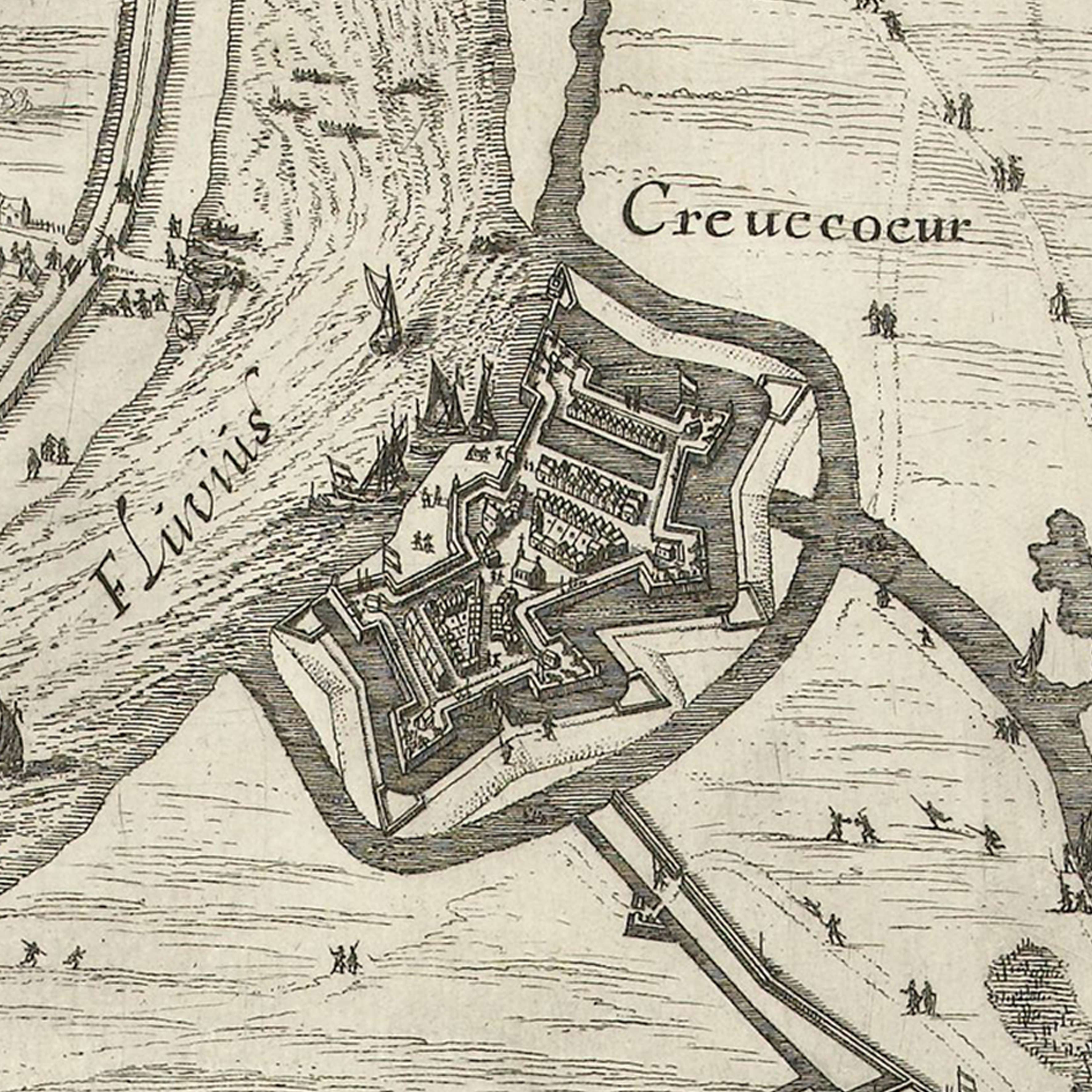
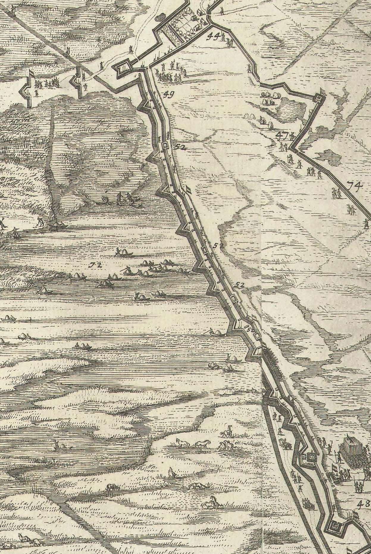
The municipalities of Sint-Michielsgestel, Vught, Heusden and ‘s-Hertogenbosch and the foundation Stichting de Groene Vesting, are jointly aspiring to make Line 1629 or the Defence line more visible and perceptible, and to give the development of the landscape an articulated significance. Line 1629 is situated some distance from the inner city of ‘s-Hertogenbosch and runs through the outskirts of the four municipalities. It is a great piece of structural engineering and forms part of the military machine that played a crucial role at the Battle of 1629, in which Frederik Hendrik liberated ‘s-Hertogenbosch from the Spaniards. This makes the Defence line inextricably linked to the Citadel of ‘s-Hertogenbosch; strongholds of attack and defence.
In an analogy of the development concept for the defences of the city “Versterkt Den Bosch” [A Strengthened Den Bosch], the municipality of ‘s-Hertogenbosch had a “Linieboek” (Feddes/Olthof 2014) drawn up, which defines the development concept of Line 1629 as an important structure carrier of the landscape. The municipalities of Sint-Michielsgestel, Vught, Heusden and ‘s-Hertogenbosch endorse the “Linieboek” aspiration and want to have it elaborated and given further concrete form. To this end, they have commissioned MTD landschapsarchitecten to draw up a Line 1629 Development Plan and Implementation Schedule, on the basis of which the individual projects will be developed, prioritized and implemented.
In the agency’s opinion, the challenge of the Development Plan and Implementation Schedule is to preserve and strengthen the cultural heritage, urban design, the landscape, recreational and ecological qualities of Line 1629, as well as to design this structure line for the residents and visitors of Sint-Michielsgestel, Vught, Heusden and ‘s-Hertogenbosch as an important structure carrier of the landscape. To achieve this, all kinds of contemporary landscape and architectural elements and economically strong schedules will be introduced; in other words, “in a Line of DEFENCE”.
The idea is to have the plans developed further by this autumn and to present it to the various individual Municipal Executives.
